Known as the “Island in the Sky,” Mount Buffalo is an unexpected yet accessible granite plateau in Victoria’s north-east. With a starting elevation of around 1300m, the park features a range of “peaks”, ski lift ruins, snow gums, giant granite boulders and over 90km of walking tracks. The Buffalo plateau offers a range of generally flat hikes above the snow line, making the park great for beginners, intermediates, and families year round.
Overview
The hike to Mt Dunn (1535m) is an 8.1km out-and-back trail with a 240m elevation gain. Centrally positioned on the Mt Buffalo plateau, the granite peak provides a 360-degree vantage point of the surrounding peaks, Mt Bogong and the snowy (except in summer) Great Dividing Range.
While the majority of the route is a steady walk, the final summit push involves a short section of steep metal steps and ladders bolted into the granite face. This hike is a great ones for kids (if you’re worried, leave them with an adult and take turns going to the top). It would also make a nice (mostly) sheltered hike in winter if you’re prepared.
Access
Trailhead: Mt Buffalo Tourist Road near Lake Catani
Suggested Meeting Point: Meet at Porepunkah before heading up the mountain. Or simply meet at the trail head.
Travel time: By car: 4 hours from Melbourne or 30 mins from Porepunkah. Chains may be required during snow season or when snow is forecast.
Mt Dunn Trail Information
Hike time: 3 hours return (we took 4 hours due to breaks with children).
Season: Autumn (March)
Fitness: Grade 1 – Easy | Technical: Grade B – Moderate
*See how I rate my walks
Safety Notes: Final 50m involves short near-vertical ladder and exposed lookout. In autumn and winter, wind chill can drop temperatures to below freezing.
Download and the Mt Dunn GPX file
App or map? While many rely on navigation apps I always recommend printing a copy of your hike maps using OpenTopo or similar and keeping it in a waterproof case. You should also consider an emergency GPS beacon
Post Hike Report
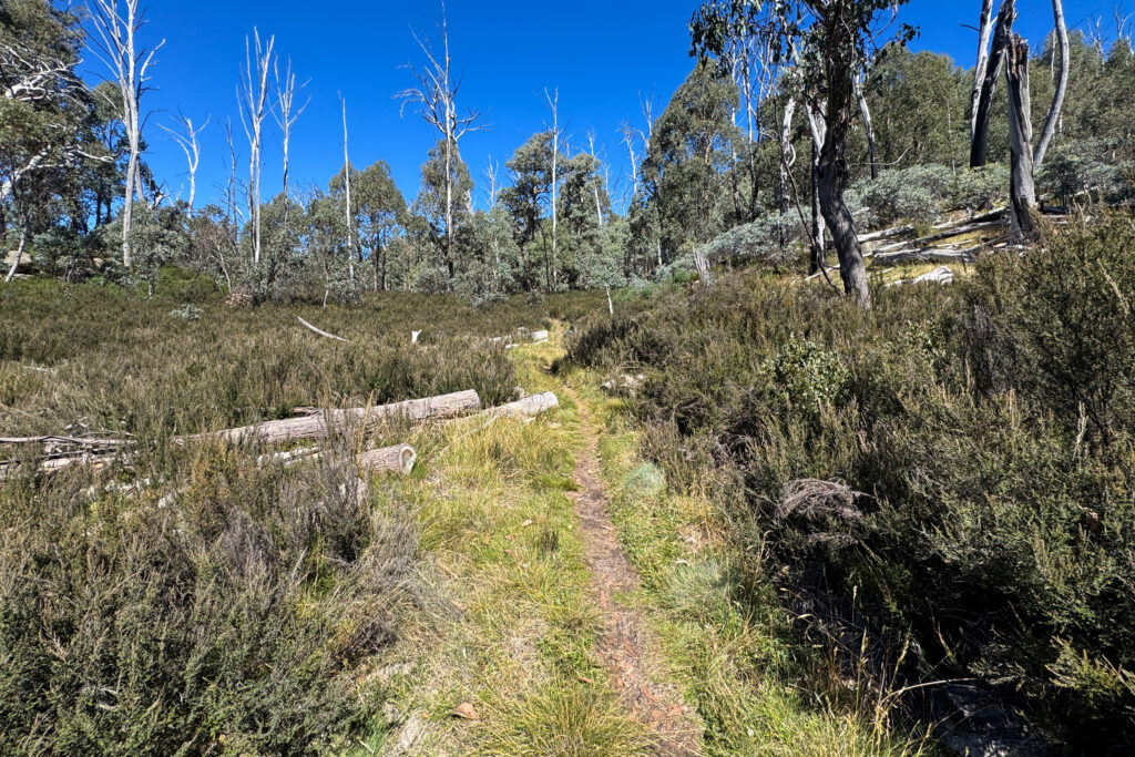
The journey began at 11.00am from the trailhead on the Mt Buffalo Tourist Road. The initial 2.2km follows Eurobin Creek through the Long Plain area on a flat, well-marked trail. This section meanders through a mix of snow gum forest and open plains, crossing the creek once or twice.
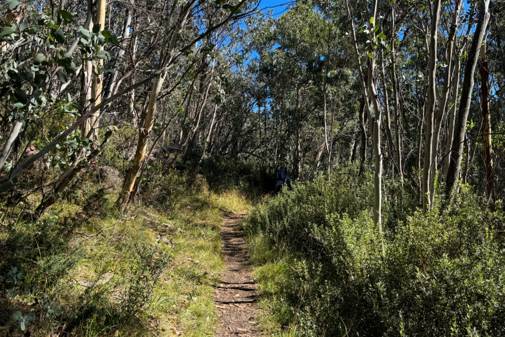
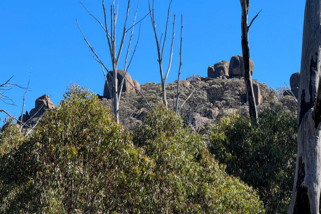
At the first major junction, the track turns right toward Mt Dunn, shifting from flat plains to a steady climb through sub-alpine scrub where the massive granite boulders of the peak become visible. We completed this hike as part of a large group of parents with children, which meant frequent breaks to frolick, cry and look at wombat poop.
Upon reaching the base of the granite peak, the trail transitions into a technical challenge consisting of a 5-meter vertical ladder followed by steep stone steps. This section is highly exposed with no platforms and significant gaps in the handrails at the summit, making the final stretch particularly “edgy” for those with young kids.
We challenged ourselves on these steep stairs, reaching the top with our child cuddled closely and supported throughout the climb. Due to the strong winds and a wind chill factor closer to freezing than expected for March, we did not stay long at the 1,535m peak. We began the descent carefully and arrived back at the vehicle after 3:00pm.
Other photos of Mt Dunn Day hike