

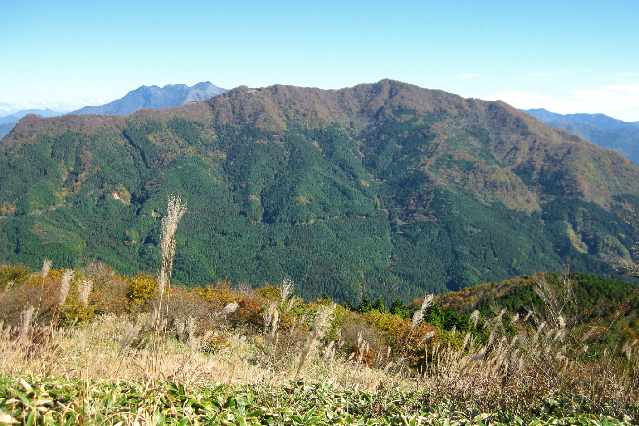
Mt Ishizumi 石墨山 (not to be confused with the well-known Ishizuchi nearby) is a 1,456m peak in Ehime which is been referred to by some as having one of the “three great steep climbs of Shikoku”.
It offers a rewarding, crowd-free alternative to Ishizuchi, featuring a notoriously steep, rope-assisted ascent that opens up to a panoramic bamboo-grass ridge with dramatic views of the Ishizuchi range. If you prefer roads-less-travelled, this could be a nice option for you.
⚠️ This is a planned hike. I haven’t walked this trail but am sharing my research in English to encourage people to get out there and explore Shikoku (and also so I can do the hike, too!). Please do your own planning and research. If you do end up hiking this mountain, I’d love to hear from you.
Overview
This walk is one of Shikoku’s 100 Most Famous (Hyakkumeizan). There are two main routes through which this hike can be done. Most people hike this from the trailhead near Karakai Waterfalls 唐岬ノ滝 on the north-side via Toon. However it is also possible to walk from the less-travelled south side via the 石墨山十二社六権現 shrine coming from Kumakogen. A new, third short “奥段からのルート” route that has been carved in by the local however as it starts at the end of a long, dirt mountain forest road it is probably not suitable for anything except a 4WD kei car you own. As such, I’m not including it as an option below.
Access & Course Information
Option 1: Karakai Waterfalls approach
Starting near Karakai waterfalls there is a toilet at the start of the hike. This 6.5km route should take just under 5 hours, depending on breaks, and features a solid 670m of elevation gains. Those who took this route describe a “near vertical” final section about 100m from the top, with ropes to assist on the side
Trailhead: Karakai waterfalls toilet / parking
Estimated hike time: 5 hours (6.5km with 670m of elevation gain)
Estimated: Fitness: Grade 3 – Hard | Technical: Grade D – Very Hard
*See how I rate my walks
Safety notes: The final section of the Option 1 route includes ropes to assist, and a “near vertical” section of scrambling up loose terrain. I do not believe there are any ladders or cliffs, but there are definitely steep sections where a fall an injury is possible, or you may need to come down backwards.
Option 2: Honmura 本村ルート shrine approach on the south
This 4.6km 4 hour return option is a shorter, steeper route that passes by a fantastic shrine in the mountain. The roads that lead to the trailhead do not exist on Google Maps, but can be seen on the hike report linked. I have placed a pin where I believe the trail head is, but suggest you read any signs locally or use a Japanese road navigation app to get there and not rely on Google.
Trailhead: Unnamed road
Estimated hike time: 4 hours (4.6km with 625m of elevation gain)
Estimated: Fitness: Grade 3 – Hard | Technical: Grade B – Moderate
*See how I rate my walks
Useful links
- YAMAP hike report (Karakai waterfall approach) (in Japanese)
- Yamareco report of Honmura route from south (in Japanese)
- Written report of hike (from Karakai waterfall approach) (in Japanese)