

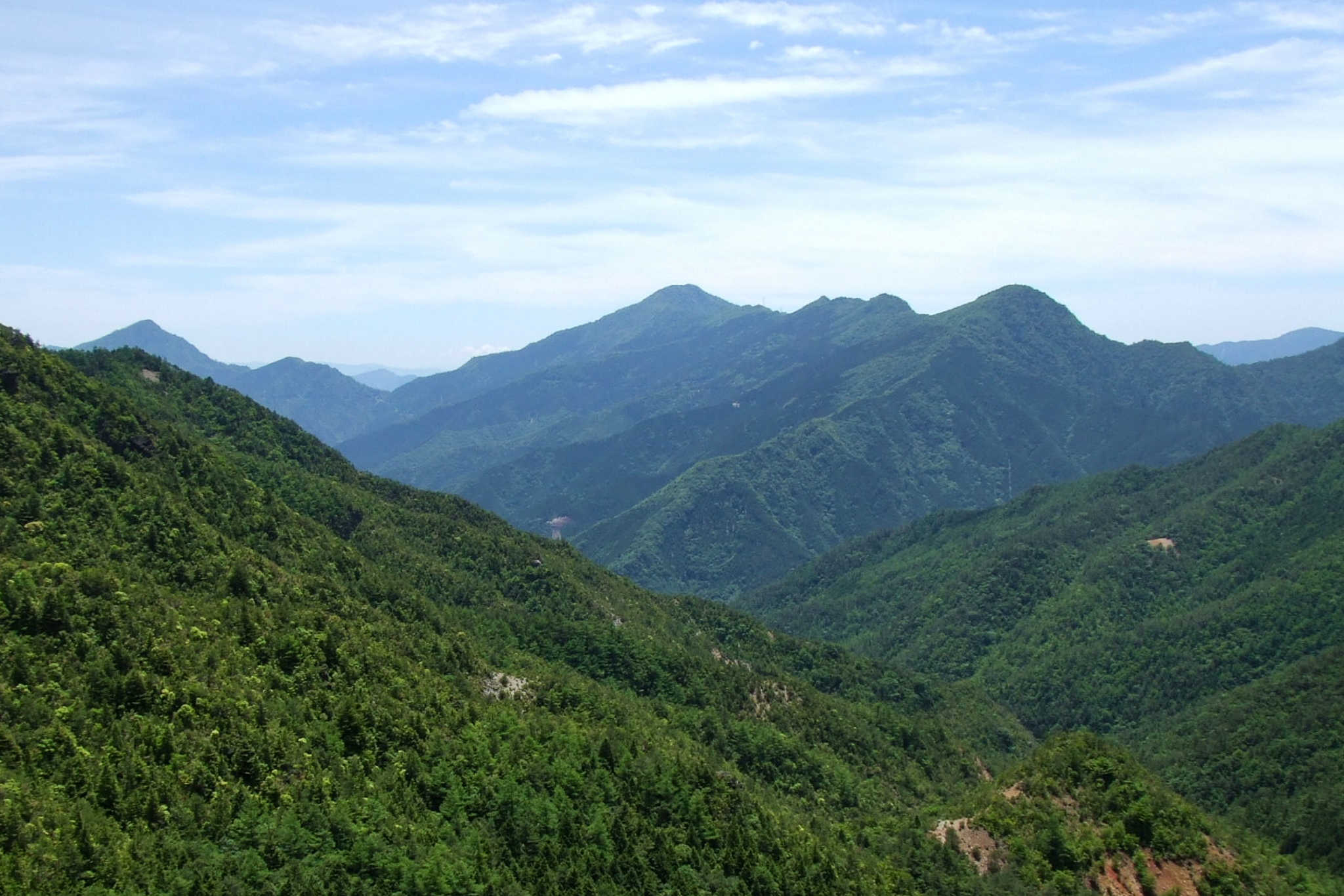
Mt Ōzare / Ōzareyama 大座礼山 is a 1,588m peak straddling the Ehime/Kochi border between Niihama City (formerly Besshi-yama Village) and Okawa Village. The name is believed to originate from the prominent scree slope (zare-ba) on the mountain’s southwestern side.
While the lower slopes feature cedar logging plantations like much of Shikoku now does, anything above the 1,080m mark opens up into rich natural broadleaf forest filled with mizunara oak, fir, and vibrant mosses (including the famously massive beech known as King Buna ブナの国王 or The Great Beech ブナの巨木). There are two main options for this hike; an out-and-back route and a loop route that both start at the same location. Ōzareyama is on the Shikoku 100 Famous Mountains list I hope to complete one day.
⚠️ This is a planned hike. I haven’t walked this trail but am sharing my research in English to encourage people to get out there and explore Shikoku (and also so I can do the hike, too!). Please do your own planning and research. If you do end up hiking this mountain, I’d love to hear from you.
Access & Course Information
Option 1: Out and back option
Starting at around 1000m elevation from a dirt road just off Otao Pass / Otao-goe (大田尾越) the hike is best accessed with kei-car. The trail starts fairly steeply and follows along the side of the mountain, with a number ofold, short timber bridges helping you across a few sections of rocks and rivers. Take care of the condition of these bridges and any fall risks, or hazards due to rain and flooding. Once you reach Inokawa-goe Pass (井野川越) the trail turns back in almost the opposite direction up the ridgeline to the peak.
Trailhead: Forest road parking area
Estimated hike time: 3.5 hours (5km with 547m of elevation gain)
Estimated fitness: Grade 2 – Moderate | Technical: Grade B – Moderate
*See how I rate my walks
Useful links: Yamap out-and-back route (In Japanese)
Option 2: Loop option
Known as the Otao Pass Loop (大田尾越周回) this route involves basically continuing past the peak and going back down and around to the pass near where you parked your car. It is a steady downhill from the peak. This route is basically the same as the first, but I know some people prefer not to fo back the same way they came.
Estimated hike time: 3.5 hours (5km with 566m of elevation gain)
Estimated fitness: Grade 2 – Moderate | Technical: Grade B – Moderate
Useful links: Yamap loop trail report (In Japanese)
*See how I rate my walks