

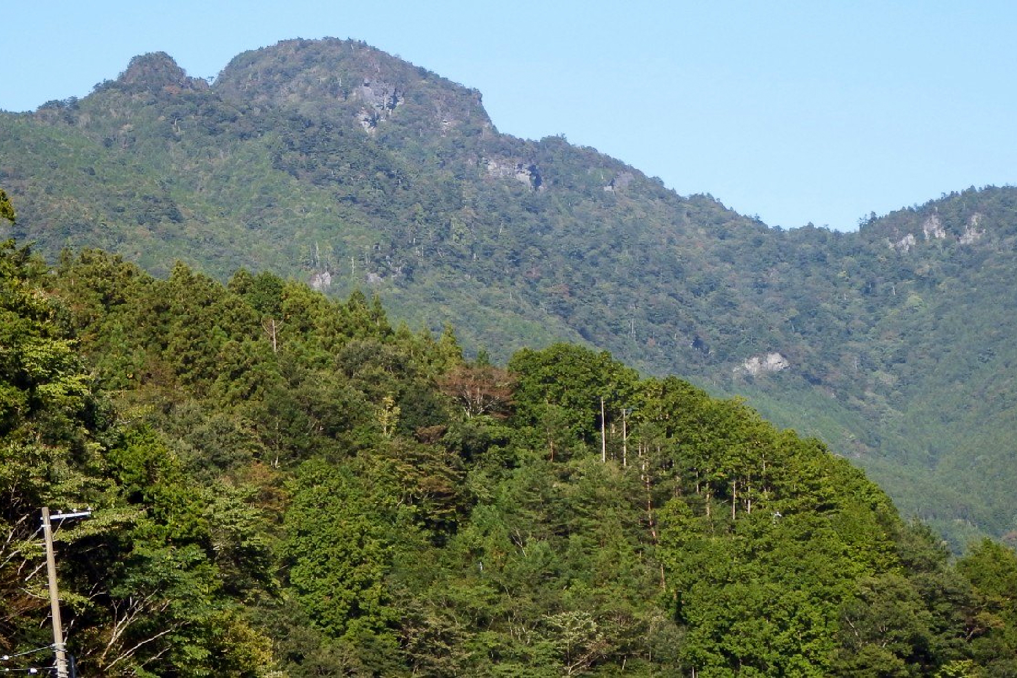
Inamurayama 稲叢山, also known as Onijō-zan 鬼城山, is a 1,506m peak located north of Kochi city offering a scenic 3.6km to 5.5km hike through beech forest, waterfalls, and steep cliffs before reaching a panoramic summit with views of the Ishizuchi range. Its original name, Onijō-zan, stems from its sheer rock cliffs, which gave the peak the appearance of a fortress where demons dwelt.
Starting at either the Inamurayama Tunnel and Inamura Dam most hikers choose the shorter out-and-back route through quiet forest and mountain streams. A second slightly longer loop passes through a legendary cave (said to have been a hideout for Heike clan refugees) and features a short chain section. In all there are three main routes of varying difficulty of which I’ll detail two below.
⚠️ This is a planned hike. I haven’t walked this trail but am sharing my research in English to encourage people to get out there and explore Shikoku (and also so I can do the hike, too!). Please do your own planning and research. If you do end up hiking this mountain, I’d love to hear from you.
Access & Course Information
Option 1: Easier route from Inamurayama Tunnel
Starting from the south entrance of the Inamurayama Tunnel, this 3.6km out-and-back route is the shortest and most direct option to the summit. Trail hazards include aging metal footbridges without handrails, mossy rocks, and slick tree roots. Visitors in summer note horseflies at the trailhead, while winter brings black ice, snow, and icicles in the shaded sections.
Trailhead: Inamurayama tunnel parking
Estimated hike time: 2 hours (3.6km with 319m of elevation gain)
Estimated fitness: Grade 1 – Easy | Technical: Grade B – Moderate
*See how I rate my walks
Useful links: Yamap forest trail route (In Japanese)
Option 2: More dangerous but rewarding route from the dam
Starting from the Inamura Dam parking area, this 4.6km out-and-back route (428m elevation gain, 2.5 hours) follows a stream-side path with several river crossings, small waterfalls, and a historic cave. There is a short chain section, rock scrambling, and slick spots over wet leaves. A upper junction lets you loop through the cave route or take a direct bypass to skip the steeper rock sections.
Trailhead: Inamura dam parking lot
Estimated hike time: 3 hours (4.6km with 428m of elevation gain)
Estimated fitness: Grade 1 – Easy | Technical: Grade C – Hard
Useful links: Yamap trail report with picures (In Japanese)
*See how I rate my walks