

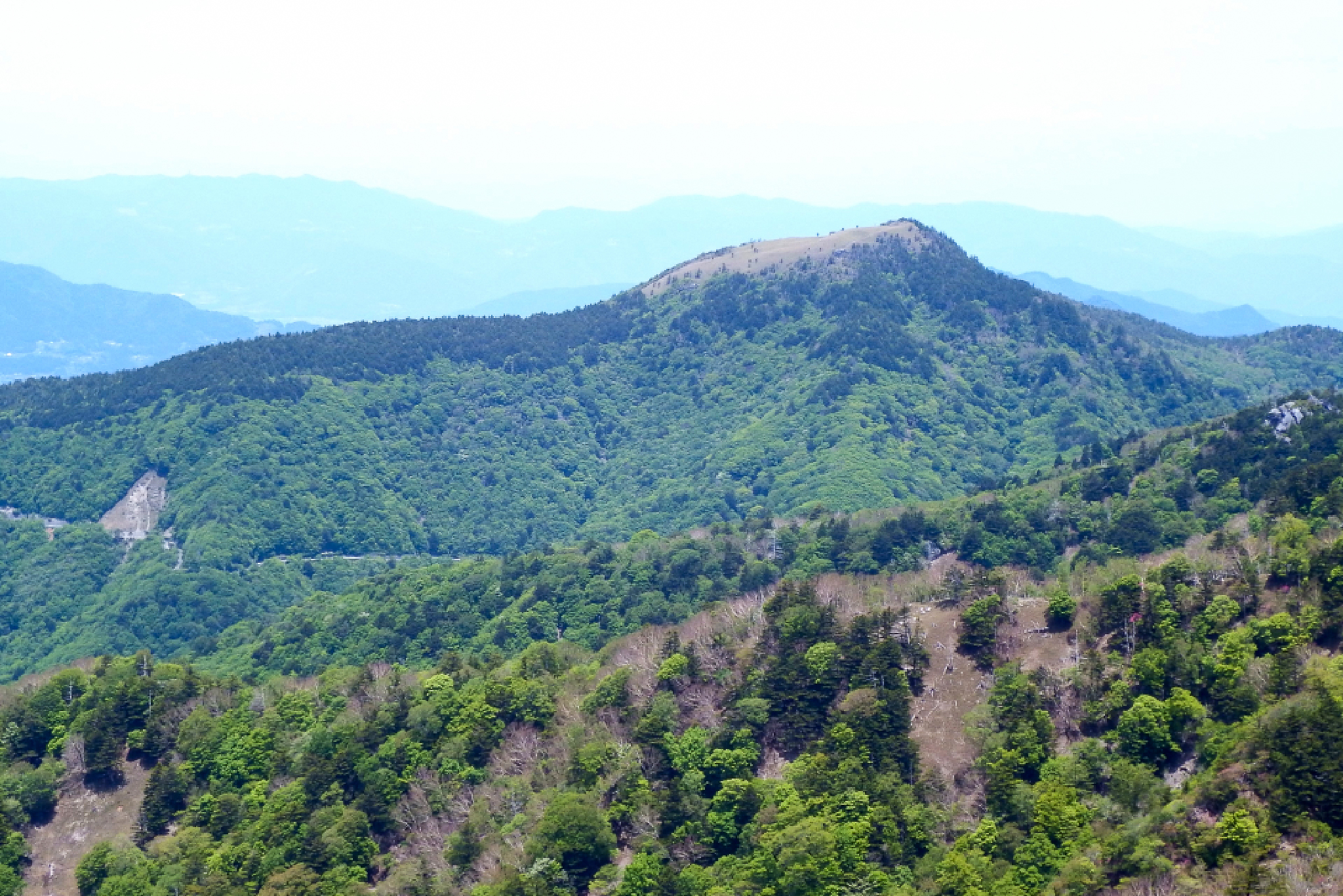
Shiragayama 白髪山, a 1,770m peak in Kochi (not to be confused with the smaller 1469m peak of the same name located in Motoyama), is a boulder and sasa-covered peak at the back of Mt Miune. The exposed peak offers classic Shikoku views across to Tsurugi-san and the Iya Valley and is also known as “Tosa Fuji” and “Nirao Fuji” to the locals. Given the nearby road this is one of the most accessible peaks in the Iya Valley area.
There are short and long options for this hike with all starting from the pass below Miyabi Hill. The easiest option involves hiking to Shiraga only and will take less than 2 hours, while multiple longer options will take you up to 7 hours and involve continuing to Mt Miune or Mt Heimawaru. I have detailed the short route and Heiwamaru extension option below. An important note is that this area along with the surrounding peaks are known for bear populations. If there is signage in place please take note.
⚠️ This is a planned hike. I haven’t walked this trail but am sharing my research in English to encourage people to get out there and explore Shikoku (and also so I can do the hike, too!). Please do your own planning and research. If you do end up hiking this mountain, I’d love to hear from you.
Access & Course Information
Option 1: Short hike to Shiraga only
Starting from the Shiragayama Trailhead Parking (白髪山登山口駐車場), this is the shortest route up. The trail climbs steadily through forest via log steps before breaking onto the classic Shikoku sasa ridgeline above. The 1,770m summit offers clear 360-degree views toward Miune and Mt. Tsurugi. As with many hikes in Shikoku the access road (while paved) is narrow with parking areas frequently covered in fallen rock.
Trailhead: Mount Shiraga parking area 白髪山登山口 駐車場
Estimated hike time: <2 hours (1.7km with 307m of elevation gain)
Estimated fitness: Grade 1 – Easy | Technical: Grade A – Easy
*See how I rate my walks
Useful links: Yamap trip report with pictures (In Japanese)
Option 2: Longer walk including Heiwamaru
For a longer half-day outing that makes the most of this area, continue past Shiragayama along the ridgeline to Heiwamaru (1,701m). First the track drops toward the Shiraga Emergency Hut (白髪避難小屋) before some up and down along the ridgeline. The hut itself is worth the short detour even if you prefer Option 1.
Trailhead: As above
Estimated hike time: 5 hours (7.4km with 687m of elevation gain)
Estimated fitness: Grade 2 – Moderate | Technical: Grade A – Easy
Useful links: Heiwamaru route with pictures (In Japanese)
*See how I rate my walks