

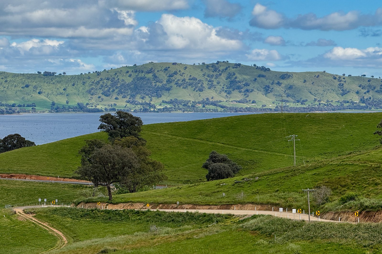
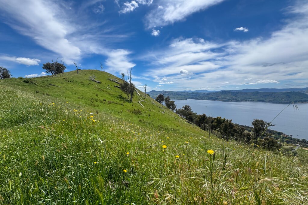
Whether you’re a local of Albury-Wodonga or just someone passing through on the drive from Sydney to Melbourne, Mayer’s Hill is a great short walk that delivers amazing views without a big commitment. The hill provides fantastic views over Lake Hume, Albury-Wodonga and towards the snow-capped peaks of Falls Creek and Mt Bogong.
Overview
This day hike to Mayer’s Hill is a 5.0km return trek with 301m of elevation gain near Lake Hume and Albury-Wodonga. It’s an ideal hike if you only have a morning or afternoon, zig zagging up open paddocks before reaching the peak with 360 degree views. You can also hike from the other side and do the full crossover if you’re looking to double the challenge! The hill is popular with runners, if that’s your thing.
Access
Trailhead: Maher’s Hill Access (East side)
Suggested Meeting Point: Wodonga or Tallangatta for supplies
Travel time: By car: 15 minutes from Wodonga, 20 minutes from Tallangatta
Maher’s Hill Information
Hike time: 2 hours return (includes 20 minute at top)
Season: Spring (November)
Fitness: Grade 1 – Easy | Technical: Grade A – Easy
*See how I rate my walks
Safety notes: Snakes are probably the biggest risk on this hike. This trail is surrounded by privately owned farmland, stick to the trails, be respectful of fire restrictions and always carry your rubbish in and out.
Download the Maher’s Hill GPX file
App or map? While many rely on navigation apps I always recommend printing a copy of your hike maps using OpenTopo or similar and keeping it in a waterproof case. You should also consider an PLB or other emergency device in Australia.
Post Hike Report
With only half a day up my sleeve I parked at the east side trail head located on the Murray Valley Highway, close to the popular free lakeside campground at Ludlow’s Reserves and the High Country Rail Trail.
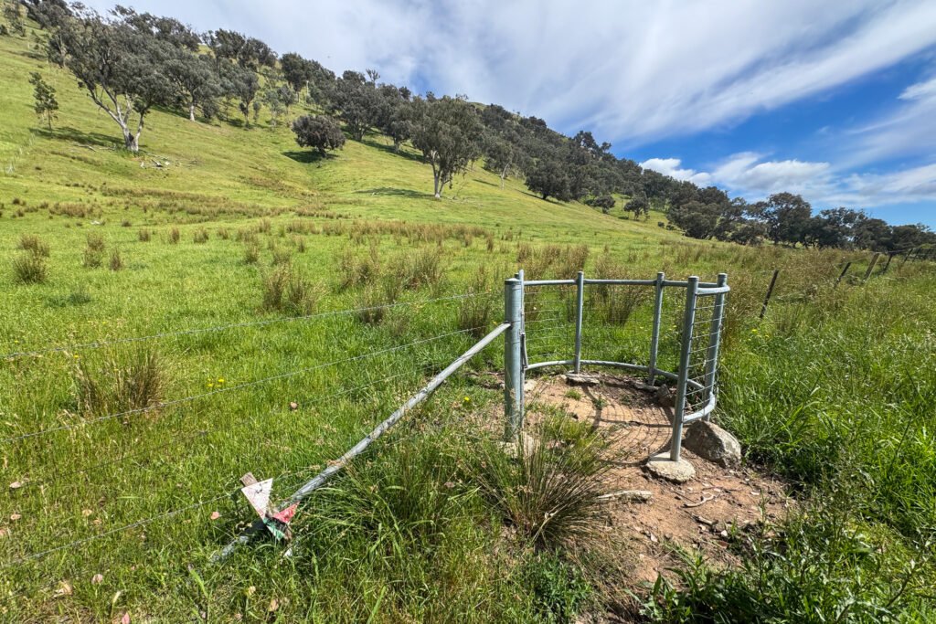
Pass through the pedestrian gates and follow the trail up the tree-lined access road. While it may look like private land to some, or like a fire trail passing through private land, the access road and hill itself are actually public land managed by Wodonga Council.
The grass here at the start is quite overgrown and probably a bit of a snake hazard so take care and watch your step. The trail turns right before passing through another pedestrian gate on your left.
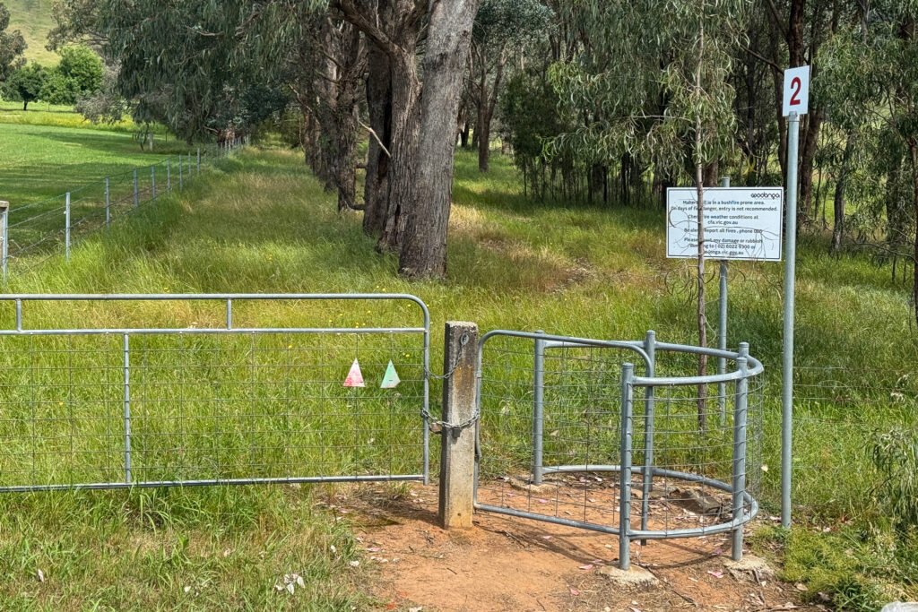
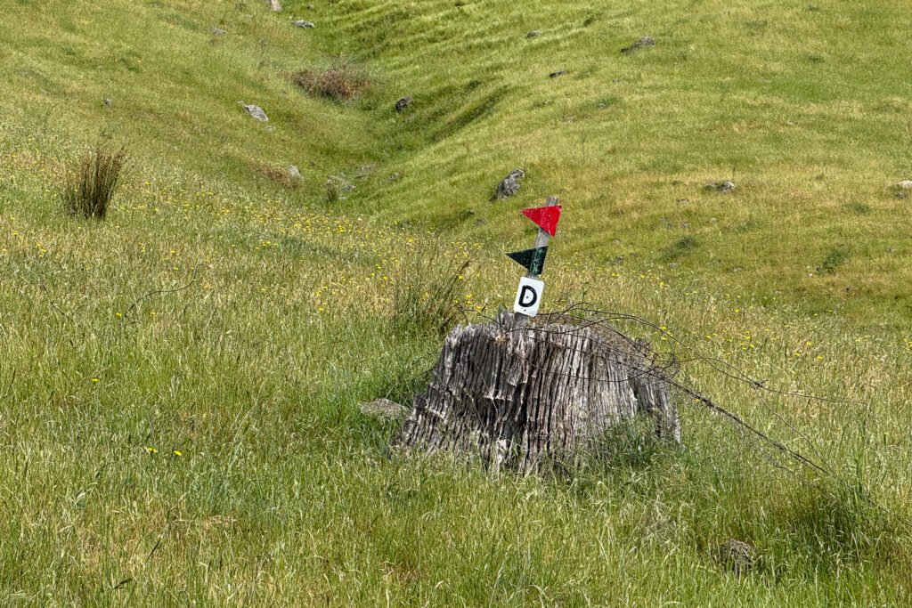
Head diagonally up the hill following the fire road. The trail is initially hard to see and this section also looks boggy. The road is easy to follow most of the way, but it does shortly take another turn uphill to your right which is easy to miss. Make sure to follow the green/red arrows as you head up and you can’t go wrong.
From here there is a short but steep section to push to the top, with slippery decomposed granite road, take it easy especially on the way back, as the chances of slipping are high.
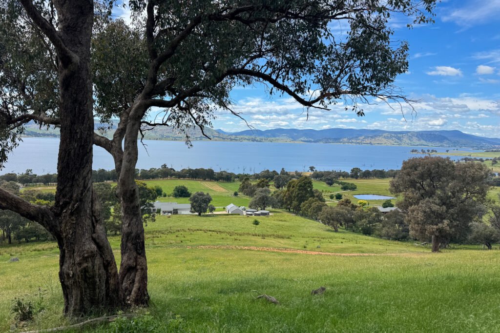
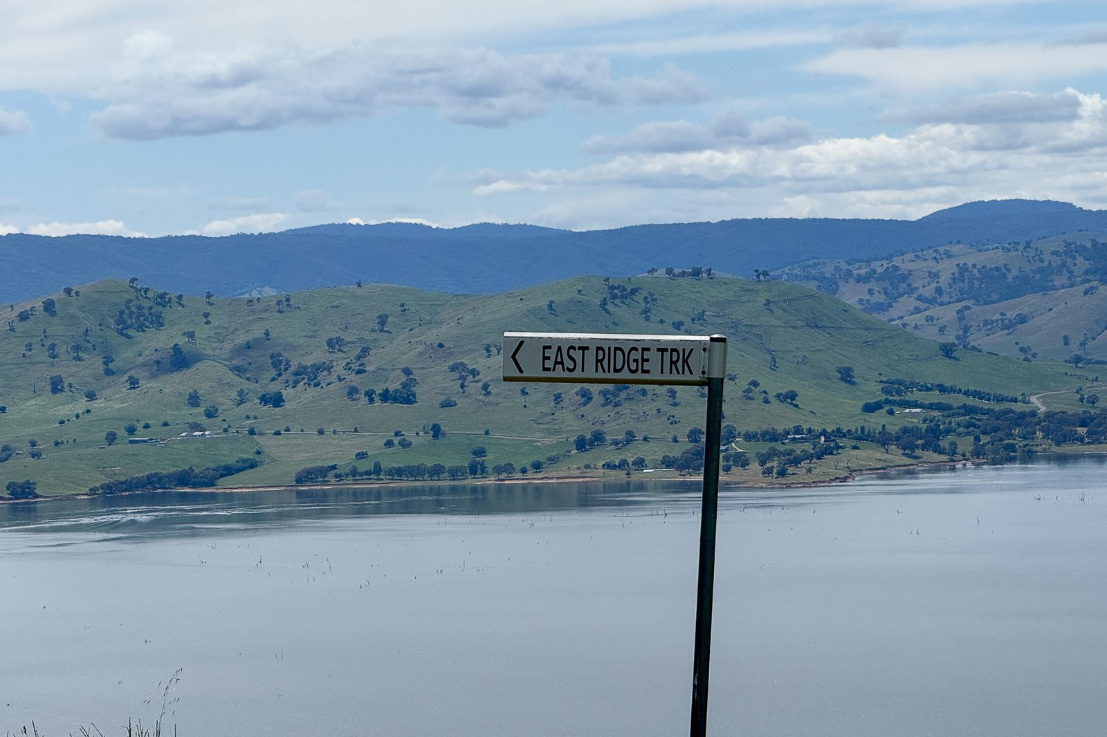
After around 20 minutes and a little slog you’ll reach the ridgeline at the top, with some very classic looking street signs appearing from nowhere. Take a right to stay on the trail and follow the grassy road to the peak.
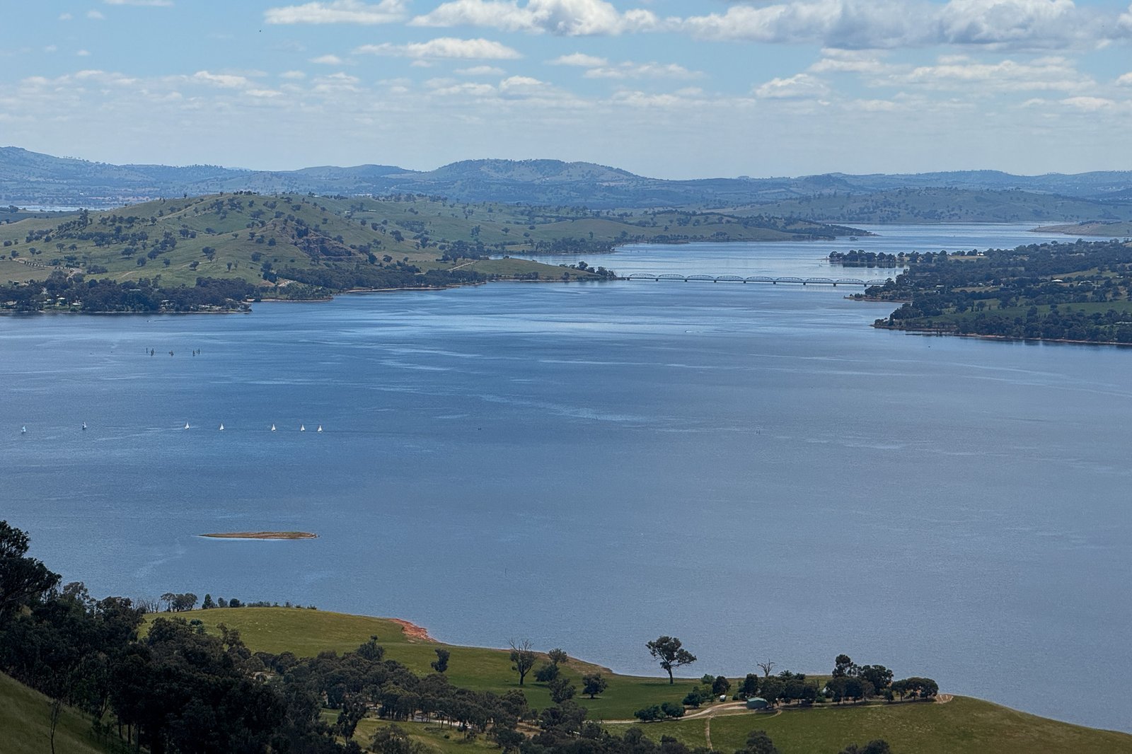
The peak itself offers one of the best inland lake views in mainland Australia, in my opinion, especially given the short distance you have to hike. To the north you can see the fantastic Bethanga Bridge, and to your south Falls Creek Alpine Resort (Mt McKay) and Mt Bogong. You also have great views to the west over Albury-Wodonga. Hike this in winter and you’ll be trated to some rare (for Australia) snow capeed mountain and lake views.
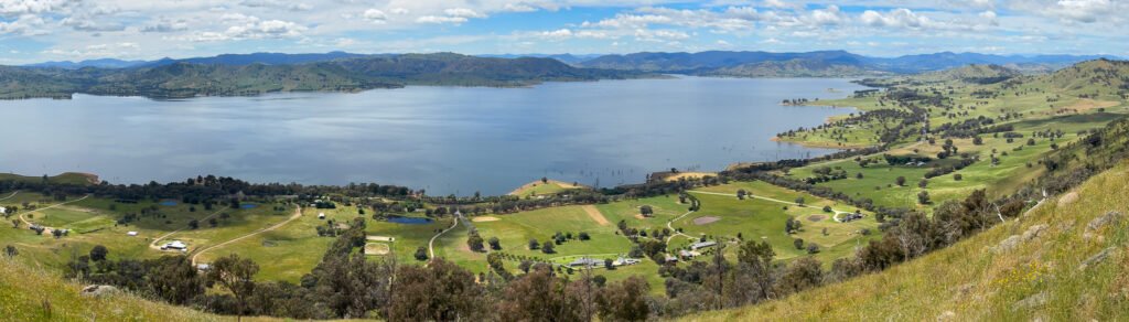
I wouldn’t hike this one in summer myself, unless you’re doing it early morning as it would be quite hot and exposed.
Other photos of Maher’s Hill
Useful Resources
- Lake Hume tourist information
- High Country rail trail information
- Ludlows’s reserve free camping (lakeside)