
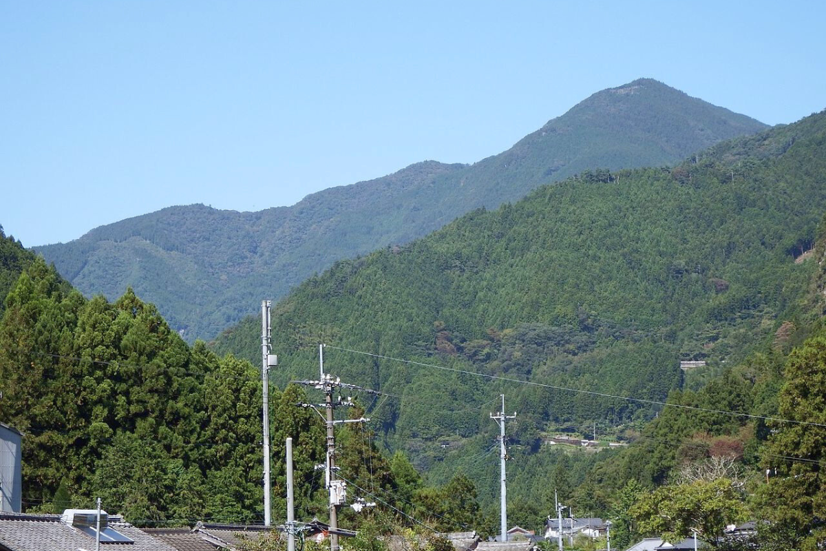
Mt. Amegamori (雨ヶ森, 1387m) in Niyodogawa Town, Kochi is a fairly straight forward day hike accessible by car. Worth doing if you’re living nearby or in the area you’ll pass through some old rice terraces, forests and a cave shrine. There is one section of exposed rock scrambling before the top – some might find it uncomfortable if so just turn back.
Trail Information
Trail-head: Iwagawa, Niyodogawa
Difficulty: Fitness (Grade 1-2: Easy-Moderate) Technical (Grade 2: Moderate). There is one section near the top where you’ll have to scramble up an exposed section of rock about 2 metres. Don’t slip.
Hike length: 4-5 hours return
Download and print the trail map
App or map? While many rely on navigation apps these days I strongly recommend printing a copy of your hike maps using one of the free topographic map services.
Useful Resources
- Yamakei hike info (Japanese)
- Yamaquest hiki report (Japanese)