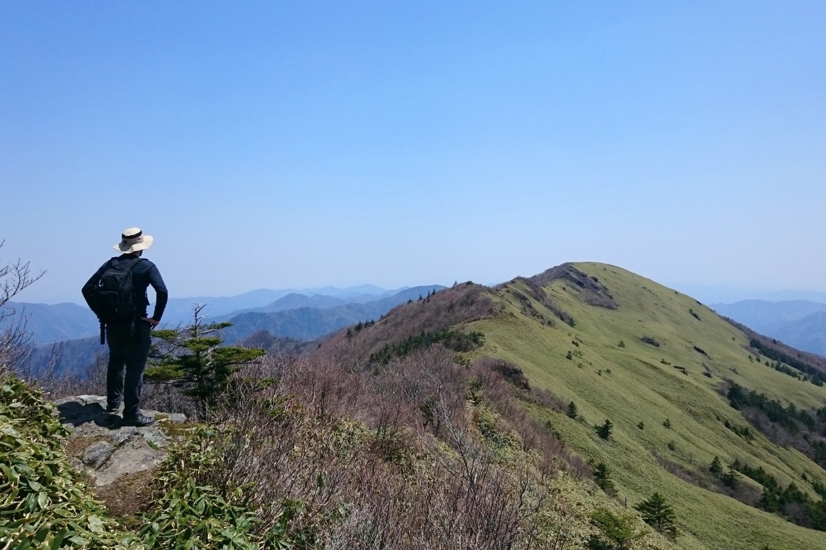
Have you ever heard The Tale of the Heike or the Genpei war? On April 25th 1185 the Genji clan fleet defeated the Taira (aka Heike)-clan fleet in the Shimonoseki Strait. This was part of a long war waged across Japan to gain control of the Imperial court. After their defeat, members of the Taira clan are said to have sought refuge in the remote corners of Shikoku. From the Iya Valley (where they built the Kazurabashi Vine Bridges) to Mt. Yokugura in present day Ochi-cho there are remnants of this once great clan all around Shikoku. Heikedaira is named after the family (平家) and the smooth rolling appearance of the mountain-top (平).
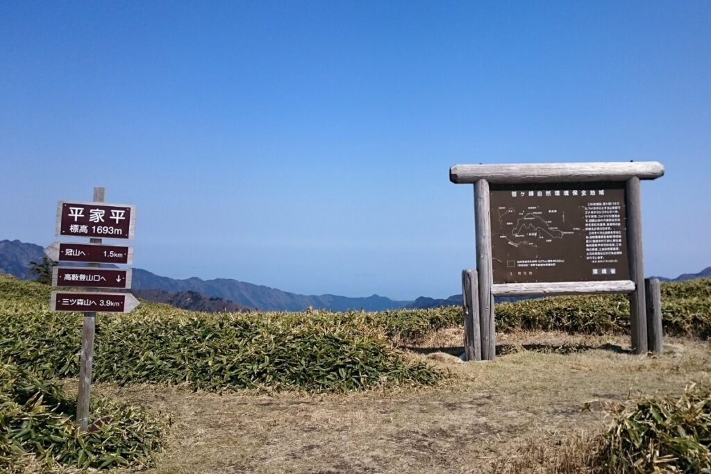
This is a fairly easy 9km day hike to Shikoku’s Mt. Heikedaira (平家平, 1692m) and Kanmuriyama (1732m) starting in Ino-cho, Kochi at the 高藪登山口 (たかやぶとざんぐち) and finishing at the same place.
Trail Information
Hike time: 5 hours or 3 hours (Kanmuriyama: 3hrs up, 1hr rest, 2hrs down, Heikedaira: 1 1/2 hrs up, 1hr down). It takes about 25 minutes to get from the Shell Service station to the trail-head.
Season: Mid Spring (Late-April)
Difficulty: Fitness (Grade 1: Easy) Technical (Grade 1: Easy)
Access
Trailhead: The hike starts here in Ino-cho (trailhead: 高藪登山口). You can take your car to that pin by navigating with Google Maps but the final 500m does not appear. There is another trail head (Okawa village) nearby which takes longer (map link here). You’ll see a sign while driving half-way up the mountain pointing to that trail-head in Okawa. Go left at that sign instead of right to get to the 高藪登山口 trailhead.
The last 500m of the road to get there is dirt but you’re able to park your car and walk that with no problem. During winter you’re unlikely to be able to access the hike and the peak will likely be covered in snow from November to Mid-Late April.
Suggested Meeting Point: Shell Gas Station on the main road before you start driving uphill. You CAN’T buy food here. The nearest convenience stores in towns like Motoyama are also good points.
Download and print the trail map
App or map? While many rely on navigation apps these days I strongly recommend printing a copy of your hike maps using one of the free topographic map services.
Post-Hike Notes
Ascent: We arrived at the Shell Service Station at 7.30am in order to carpool to the trailhead. We travelled up-hill together in a convoy and reached the start of the hike by 8.00am. Our goal was to be back by 2pm.
The hike starts after about 500m of gravel road. Park your car off to the side to avoid blocking traffic. The trail is fairly easy from the get-go. There are a few sections where it is steep and some other parts where there are stairs. Be careful of the metal spikes holding the stairs in as they stick out quite a way and could be dangerous if you fell on them.
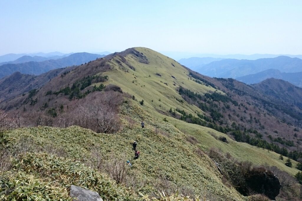
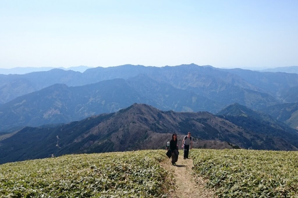
After about 1 hour of hiking you’ll be able to get your first glimpses of the Sasa covered peaks of Heikeidaira and Mt. Kanmuri. The trail follows a pretty clear spur line the whole way and the track is well-trodden. The final 20 minute section before Heikedaira is the steepest part of this hike but also super beautiful (don’t forget to turn around!). Remember that these hills are totally exposed to the wind and sun so make sure you’re prepared for the weather. It can be a lot colder and windier than you expect.
From Heikeidaira you can continue on to Mt. Kanmuriyama. It took us about an hour to get there and back. While Kanmuriyama is taller the view on top of Heikeidaira was definitely much better as there are trees that block most of the view. If you’re keen for a longer overnight hike you can continue to Mt. Sasagamine and stay in the nearby cabin!
Descent: We returned back along the same track we came on and found about 30 hikers in a group at the top of Heikeidaira (Golden Week traffic!). By this stage the youngest member of our hike, just 8 years old, was well and truly stuffed but we were all impressed by his amazing effort. From here just head back down the spur you came from. It should take you about an hour to get down. Once again, watch out for those pesky metal spikes. Done! Go home!
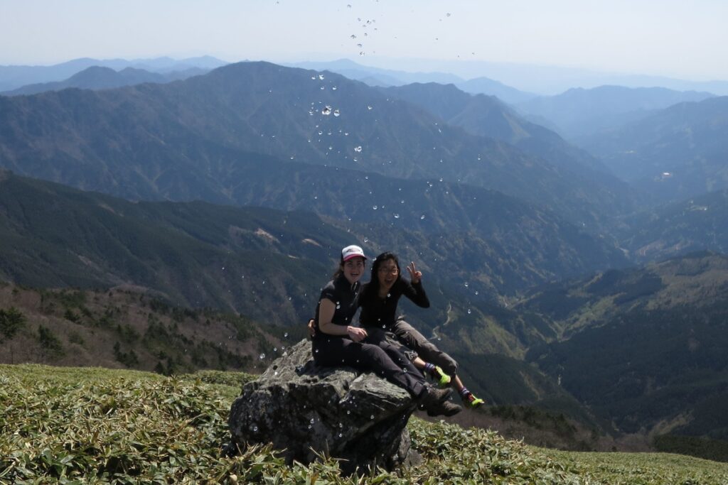
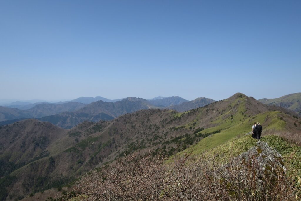
Images of Heikeidaira
Useful Links
- Yamareco report for Heikeidaira (Japanese)
- Another Yamakei report (Japanese)
- Another hiking report (Yeah, Japanese)

