
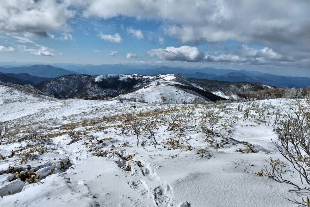
This 5.2km day hike to Mt. Kobiso (小檜曽山, 1550m) crosses the prefectural border into Tokushima and gives a great view to Mt Miune, Tenguzuka and the Iya Valley. It is located in Otoyo-cho on the border of the Iya Valley at Kyobashira Pass (which is a great but remote way to enter the valley). This is one of the easier hikes where you can access an exposed Sasa grass covered peak above 1500m.
Our original goal was to hike to the more popular Mt Tosayahazu (土佐矢筈山, 1607m) however due to potential thunderstorms we didn’t stay at the top of the mountains for very long.
Trail Information
Hike time: 3.5 hours (about 1hr 40 up, 1.5hrs down, allow about 40 minutes driving from Toyonaga to the start of the hike at Kyobashira pass)
Season: Early Spring (March)
Fitness: Grade 1 – Easy | Technical: Grade A – Easy
See how I rate my walks
Safety Notes: There are a few moderately steep sections however this trail is fairly easy in terms of fitness. There are one or two sections of the track where the path splits without sign-posts. Make sure to look for the red/pink tags. For this reason be sure to always carry map and GPS capable device with you. Bears had been seen in this area (not recently) when we visited with old warning signs present.
Download and print the trail map
App or map? While many rely on navigation apps these days I strongly recommend printing a copy of your hike maps using one of the free topographic map services.
Access
Trailhead: Kyobashira Toge on the 432. From mid November the road may be closed due to snow. Park your car near the Udon restaurant then walk 100m down the road that turns off the 432 (the one that follows the spur) to find the trail head on the right.
Suggested Meeting Point: Kondou Store Supermarket
Post Hike Report
We arrived at the trail head at Kyobashira pass at 10.00am. If you’re lucky (in Winter and Spring) and arrive early enough you may be treated to an amazing sight of the ‘cloud sea’ in the valley below. If not, the view is still amazing.
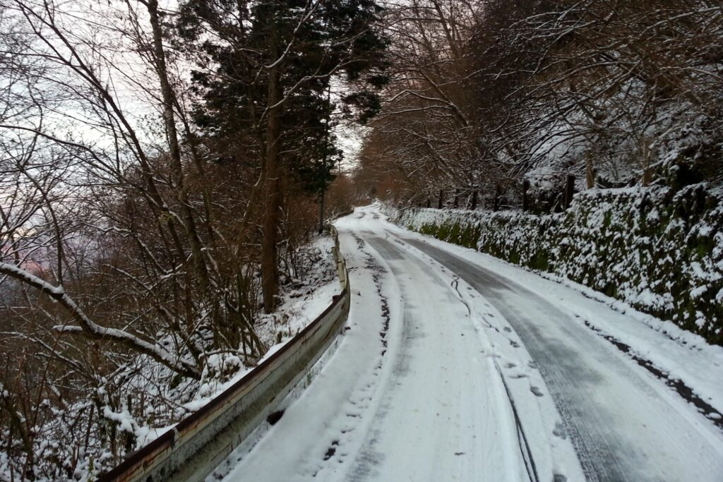
The hike does not start right where the road and the spur meet (despite the sign which you might see). There is a great spring water source here if you need to fill up. Park your car near the Udon place and follow the road leading to your right along the spur. After 100m or so you’ll see the start of the trail.
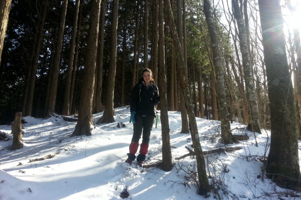
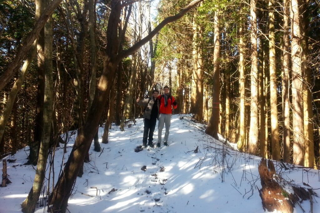
From here the trail is fairly gradual until you reach the first of two or three ‘steep’ sections. There was snow on the trail which made it a little difficult for us going up and coming down (we used micro-spikes) but in other seasons you shouldn’t have any trouble.
As we approached the top of the peak around 11:30am the vegetation began to thin. As with other areas like this (windswept with natural vegetation) there were a a heap of large, dead old trees that looked like they were ready to fall over. Expect snow in winter between 5 and 30cm to be laying around even if you can’t see it from a distance or it hasn’t snowed for a while.
The snow beneath the tree line has a habit of sticking around most of the season. Our original plan was to hike all the way to Tosayahazu however time constraints and forecasts of scattered thunderstorm made us change our plans. We arrived at Kobisoyama wanting to continue!
The descent of this hike is fairly straightforward but took us longer than expected. We returned back along the same path we came. We left the peak about 12.00 midday and were back at our cars before 1.20pm. We did have a little more trouble with the snowy/steep sections mentioned above as it was slippery so if you do this in winter bring some micro-spikes.
Packing and Preparation
Useful Resources
- Yamareco Hike info for Tosayahazu
- Kyobashira pass information
- Kyobashira Pass Udon Restaurant (closed, sadly)