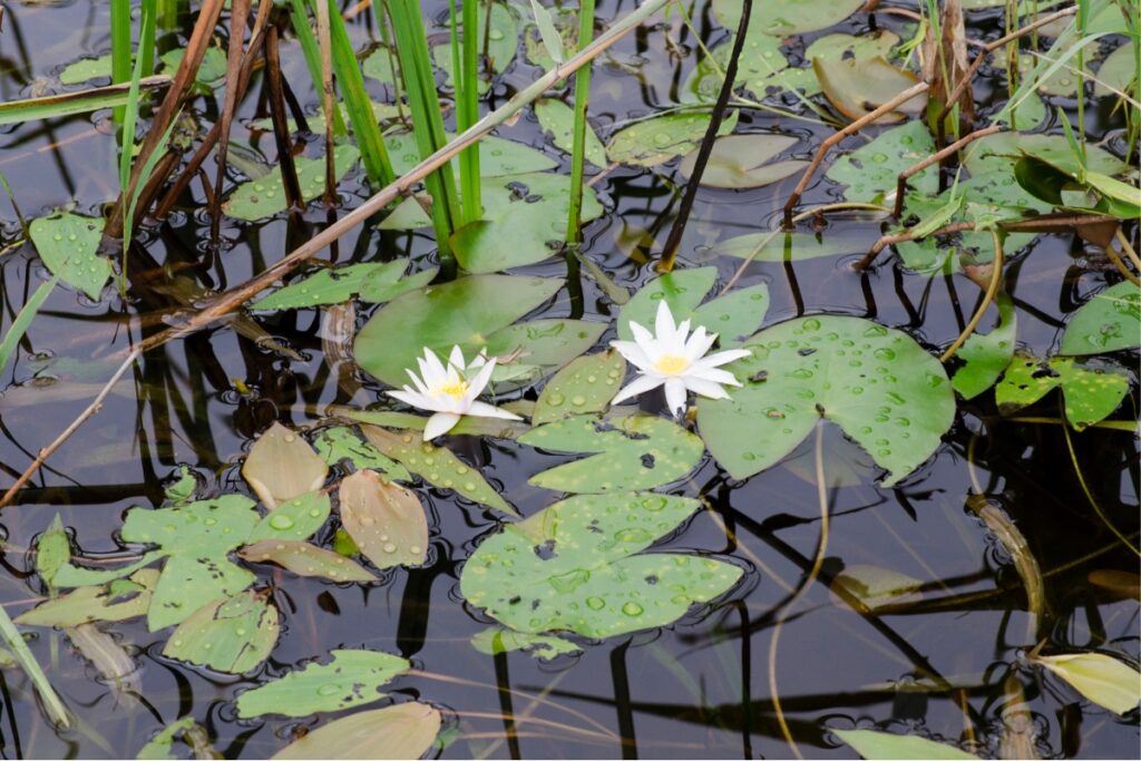
The Kurozou Marshland (Kurozou Shitsugen or 黒沢湿原) is a mountain marshland and is one of the coolest things to do in the Iya Valley. My first impression when driving into the area was that it reminded me of somewhere totally different to Japan – with trees and vibes similar to Yellowstone in the United States.
Overview
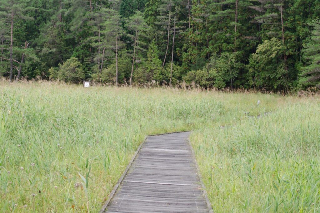
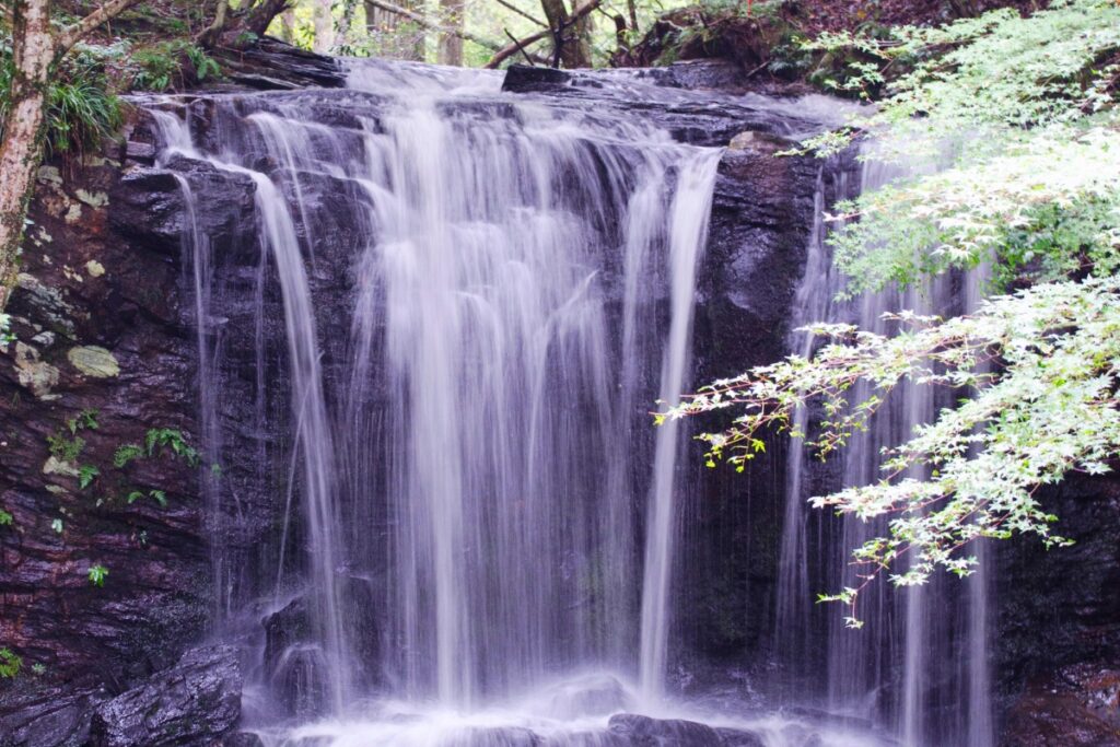
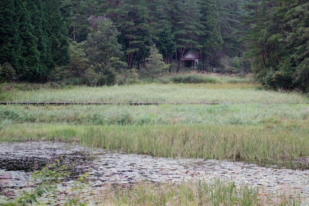
We first visited in mid-September. The forest was still very green and the marshland’s grasses were very tall. To see the marshland take one of the tracks leading away from the car park along the boardwalk and concrete path that heads towards the Tabinoshiri Waterfall (たびの尻滝). It’s possible to do a loop from the car park, through the marshlands, to the waterfall and back via the lookout to the car park where you started.
We returned in Early-November to hike up to the marshland from the riverside Matsuogawa Onsen. From the bottom at the Matsuogawa at 600m elevation there is a steep concrete path that goes all the way up to the mountain. The path is quite old but it is very beautiful. There is a picnic area with a table about half way up and we saw a number of animals including a little squirrel. See below for hike information.
Trail Information
Estimated time: 1hr 50 return plus 1 hr or so exploring the marshlands.
Difficulty: Fitness (Grade 1: Easy) Technical (Grade 1: Easy) – This is an easy walk along a concrete path however the terrain is quite steep. The path is also quite old and undercut in some sections so take it easy. There are also some sections of the path exposed to an edge where you could fall and get hurt. If there were ice on the path in winter I think it’d be quite dangerous.
Trail Options
Option 1 – Hike: Driving to the Matsuogawa Onsen and hiking up to the waterfall and see the marshlands is the most interesting way to explore this area.
Option 2 – Casual Walk: You can also drive directly to the marshland instead. The marshlands are located here at the end of a windy drive through the mountains. You’ll need a car to get to this one. Take Route 32 to Minawa or Iyaguchi before jumping onto the 269. At the end of the 269 your GPS might struggle but if you remember the ‘黒沢湿原’ kanji and follow the big signs you shouldn’t have a problem.
Food Supplies and Accommodation
Food/supplies: From the north it’s best to buy your food whilst in Ikeda or Miyoshi city. If you’re coming from the south/Kochi Prefecture you could stop at the 7/11 Convenience store in Oboke.
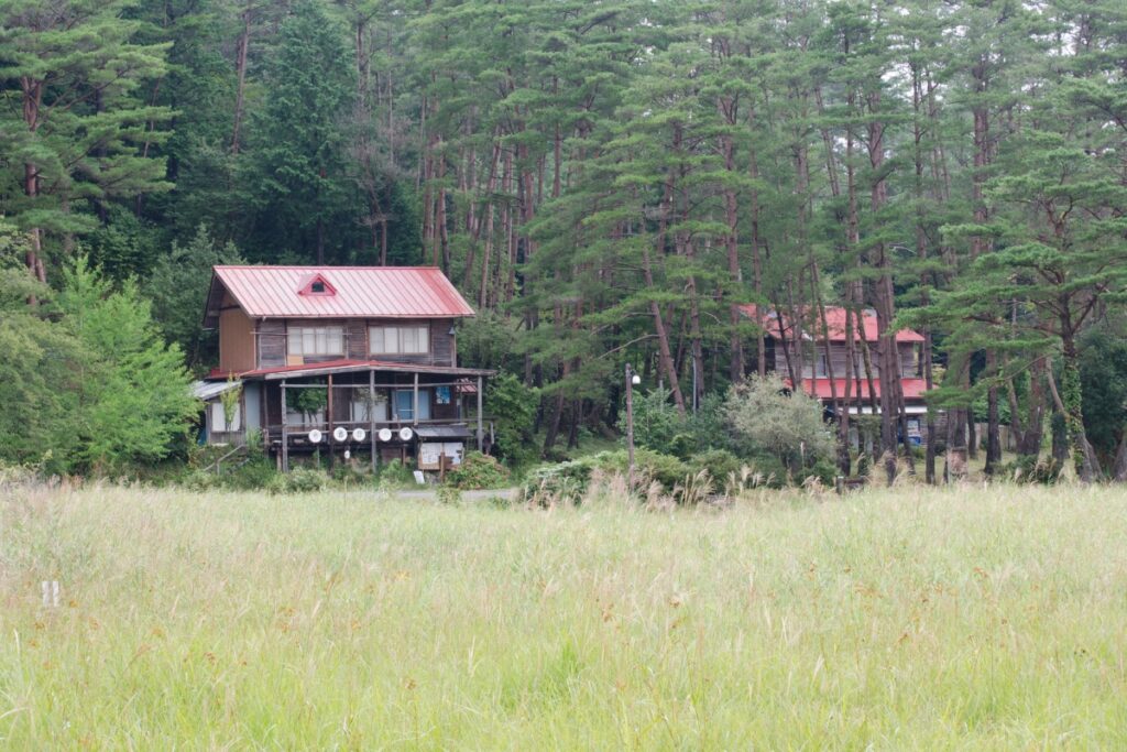
Accommodation: If you’re looking for a really nice, cheap place to stay in the Iya Valley I’d recommend the hotel by the Matsuogawa Onsen. While the hotel building itself is not super-traditional the rooms are tatami and the prices are good. We paid about 6000 yen to stay which included access to the onsen. They do lunch and dinner there and breakfast as well for guests if you let them know in advance. The food was really nice.
The onsen itself is small but lovely. The water is sourced from a natural spring and smells a little bit of sulphur. The water appears to be heated by wood fire which gives a lovely ‘homely’ smell to the area in the evening and there is also a great view over the river and fall leaves.