
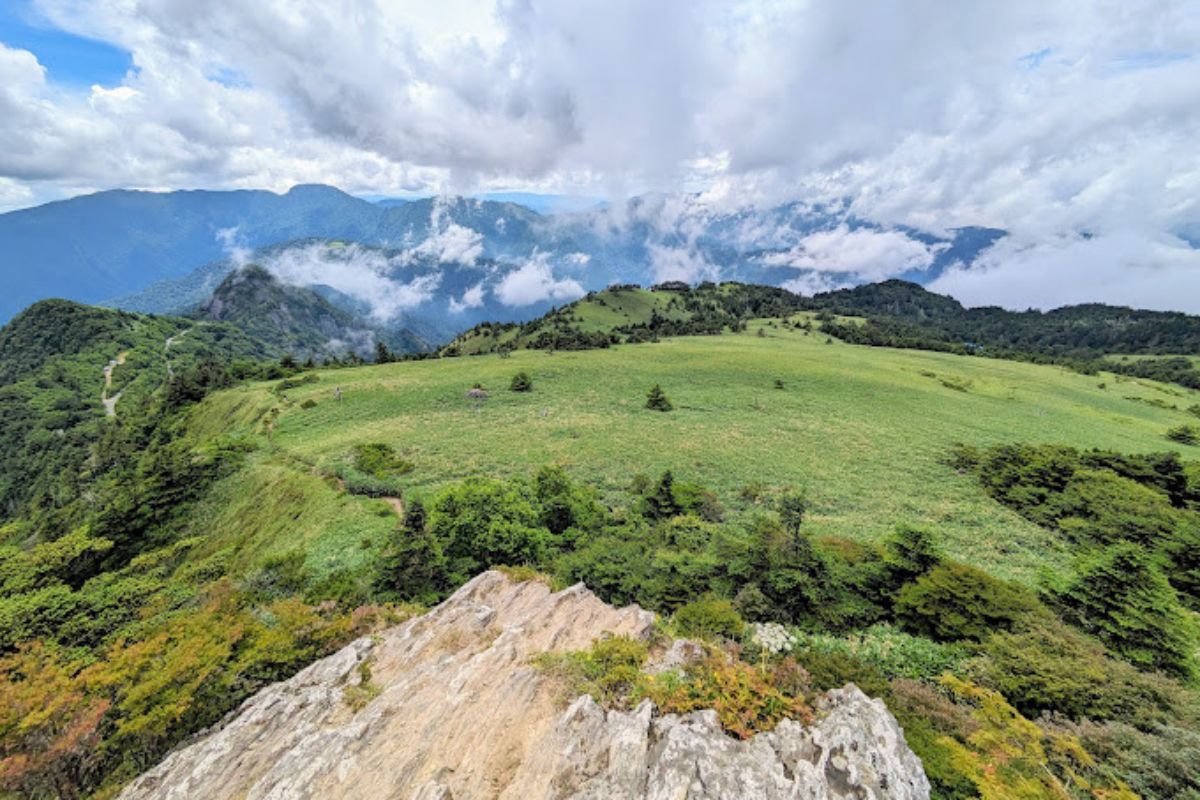
Mt Kamegamori (瓶ヶ森, 1897m) sits on the border of Tokushima and Kochi Prefectures and spectacularly overlooks the famous (and tallest on Shikoku) Mt Ishizuchi. It is short and fairly easy 2-3km hike but has reasonably steep sections towards the top and comes off the nearby UFO Line (a beautiful but very narrow drive above 1700m).
At the top you’ll find a small shrine and spectacular view towards Mt Ishizuchi on a sunny day. This is a hike I did with visiting family but never posted about at the time. I’d love to go back in winter some day!
Trail Information
Hike length: 2 hours return, 2.9km and +- elevation of 500m
Season: Summer
Trail-head: Kamegamori Trail Head Parking 瓶ヶ森登山口駐車場
Difficulty: Fitness (Grade 2: Moderate) Technical (Grade 1: Easy)
Suggested meeting point: Konoka Onsen 木の香温泉 is a good spot to start and finish but it’s still quite a drive to the trailhead from here.
Download and print the trail map
App or map? While many rely on navigation apps these days I strongly recommend printing a copy of your hike maps using one of the free topographic map services.
Photos of Mt Kamegamori
Safety Notes
- While this is a short hike – taking around 2 hours to complete from the car park and looping back around – be prepared. It can snow outside of winter in these high mountain areas and the drive up the UFO Line WILL take longer than google maps tells you. I recommend an early start and taking a small Kei car or staying at the nearby mountain Shirasa Sansou mountain hut (paid).
- The area is isolated so make sure you’re carrying everything you need including a first aid kit and water and travel early.