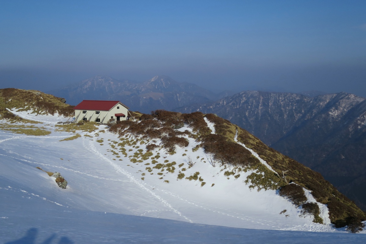
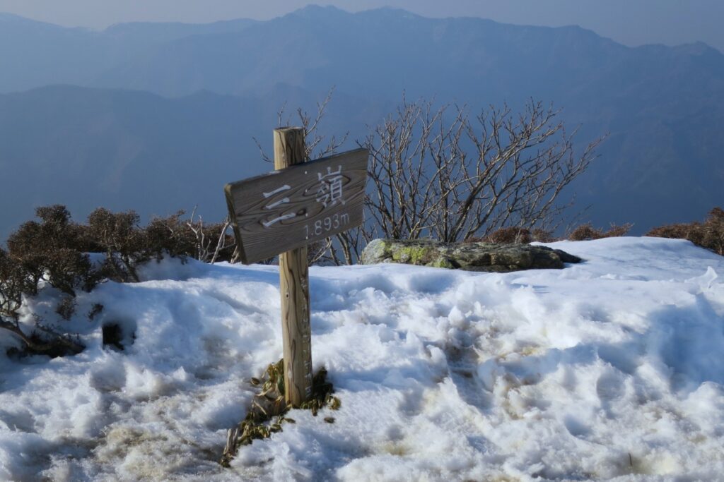
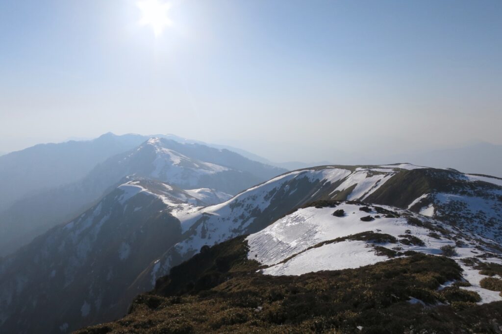
Mt Miune (also known as Sanrei) is one of the best hikes in Japan and Shikoku for regular hikers and is located in the beautiful Iya Valley. But even in late March there is still a lot of snow at the top of the mountains and risks such as cornices and freezing weather.
The scenes on this hike were beautiful but were also a reminder of how dangerous snow can be. This hike is also long and steep with a lot of elevation gain so I recommend staying overnight in the hut, starting very early, or just hike this mountain in summer.
Overview
This is a 10.5km overnight hike to Mt. Miune (三嶺, 1893m) starting at the Iyashino Hotel and Onsen (いやしの温泉郷) near Nagoro-mura (名頃 aka the Doll Village) in the Iya Valley in Tokushima and finishing at the same place. The onsen doesn’t open until April so you’ll have to go elsewhere afterwards. To read about this hike in non-snow conditions go here.
Access
Trailhead: The hike starts at the Iyashino Hotel and Onsen (いやしの温泉郷). A more popular hiking trail starts from Nagoro Village.
Suggested Meeting Point: If you’re coming from the expressway or Kochi the Seven Eleven convenience store in Oboke is the best place to meet and get supplies.
Travel time: Allow extra time on top of what Google Maps tells you as the roads in the Iya Valley are narrow (many being single lane with stopping areas). I recommend spending a few days in the area.
Trail Information
Hike time: 7 hours (about 4.5hrs up, 2hrs down, be sure to start as early as possible in winter)
Season: Early Spring (March)
Difficulty: Fitness (Grade 2: Moderate) Technical (Grade 3: Experienced)
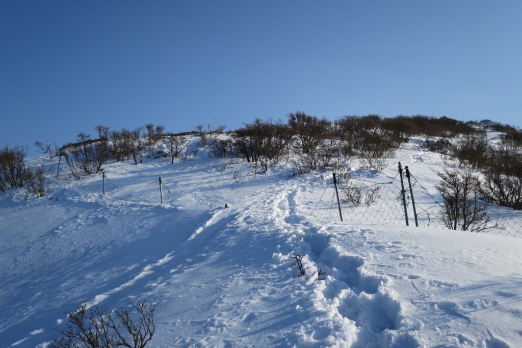
Safety Notes: This hike is steep and requires moderate fitness levels. The snow started from about 1200m but depending on the weather the entire length of the trail could be snowy. In winter you’ll need micro spikes or crampons. Hiking Miune or Tenguzuka in summer is a great way to escape the heat.
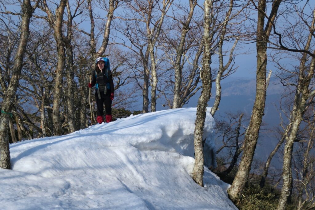
Near the top there are a few sections where the trail is narrow and passes some cliffs that may have dangerous cornices. If the snow is too deep here you’ll need to be ready to turn back. When we went the snow was very compacted so it was safe to walk on. Also, if you plan to stay overnight be aware that changing conditions (rain/snow or wind) can dramatically change the situation on top of the mountain. Start hiking early and turn back if it’s not safe (a day-hike here is still amazing!).
Download and print the trail map
App or map? While many rely on navigation apps these days I strongly recommend printing a copy of your hike maps using one of the free topographic map services.
Post Hike Full Notes
Ascent: The start of the hike is a little hard to find. If you park in the main parking area then walk up past the old Japanese houses to your left you’ll find some signs indicating the start of the trail at the opposite side of an old car-park. From here you’ll pass a quaint farm house surrounded by grass before the trail heads up through the forest. The first hour of the hike winds through the plantation forest and crossing the path of the monorail several times. Eventually you’ll reach an old logging workers cottage. There is a river here that may be a good source of fresh water (the river wasn’t flowing when we were there).
After another hour you’ll start to reach the ‘alpine zone’ of the mountain. There will be more native trees and the vegetation becomes sparse. You can also catch a glimpses of the top of the mountains where you’ll soon be as well as Mt. Tsurugi and co. There are a few sections from here that are steep and/or exposed to some danger. Be careful with your footing. In winter if there is a lot of snow this can be really precarious. As mentioned make sure you have the proper gear and plenty of time.
Just before the summit you’ll reach what I call ‘heartbreak pass’. You can see the toilet near the Miune hut but in order to get there you have to go downhill and then back up one last steep section before reaching the top. If you have packs you can leave them at the Miune hut before making the short 10 minute final walk to Miune peak. Be aware of the small lake nearby as it might be covered by snow in winter and not visible.
Overnight: We spent the night at the Miune Hut (三嶺ヒュッテ). The hut is large with two-stories and has space for about 50 people. There should be room for you but always try to arrive as early as possible to these places especially in peak seasons. There is no fireplace at this hut so you’ll want a winter sleeping bag during the colder months (Nov-May) especially in winter itself.
Descent: The first half of the descent is the most difficult and dangerous. The terrain is quite steep and as mentioned there are a few exposed areas. On a windy day in the snow this could be a problem. Be careful of where you place your feet as there may be sections of windblown snow that overhang the edges. The first steep section near ‘heartbreak pass’ is very slippery so take it easy.
After the first hour the trail is a lot less steep. The last 50% of the descent winds through the plantation forest again and was really fast (only took us about an hour or so). There are a few sections with slippery rocks and/or ice so don’t go too quick.
Photos of Mt Miune


Packing and Preparation
Useful Resources
- Iyashino Hotel/Onsen Website – http://iyashino-onsenkyo.com/
- Miune Walking Club Facebook (posts regular updates) – https://www.facebook.com/SanreiSanpoClub/
- Miune, Tenguzuka and other nearby mountain huts – http://ryousen.jp/sanrei/hutte.html
- Trail information (Japanese) – http://www.yamakei-online.com/yamanavi/yama.php?yama_id=912
Miune-Tenguzuka Hike Blog (English) – http://demo.inktails.com/2012/08/traverse-miune-to-tenguzuka/

