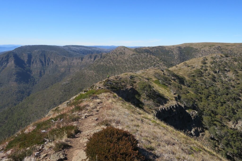
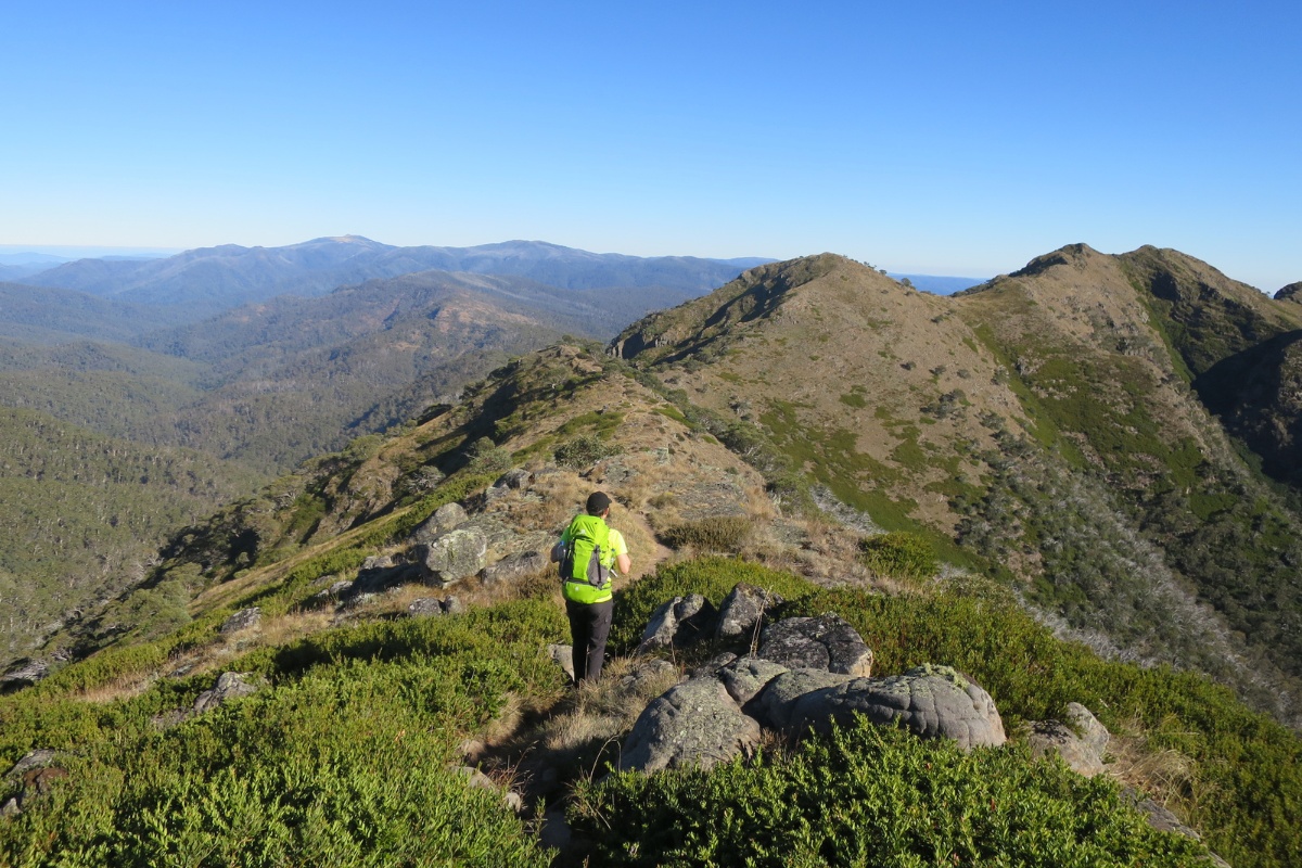
Finding hikes with exposed jagged peaks and ridge lines is not easy in Australia. In fact most of the things we call “mountains” here, including our tallest peak, feel like big hills. The Crosscut Saw in the Victorian Alps delivers on the “big exposed peak energy” that you may be missing if you’ve spent time hiking abroad.
Overview
The Crosscut Saw (1660m) and nearby Mt Howitt (1742m) are located on the Australian Alps Walking Track in Victoria overlooking Mt Buller but can be accessed as a day or overnight hike from the trail leading to the Vallejo Gantner Hut. Wild dispersed camping is allowed and we stayed overnight.
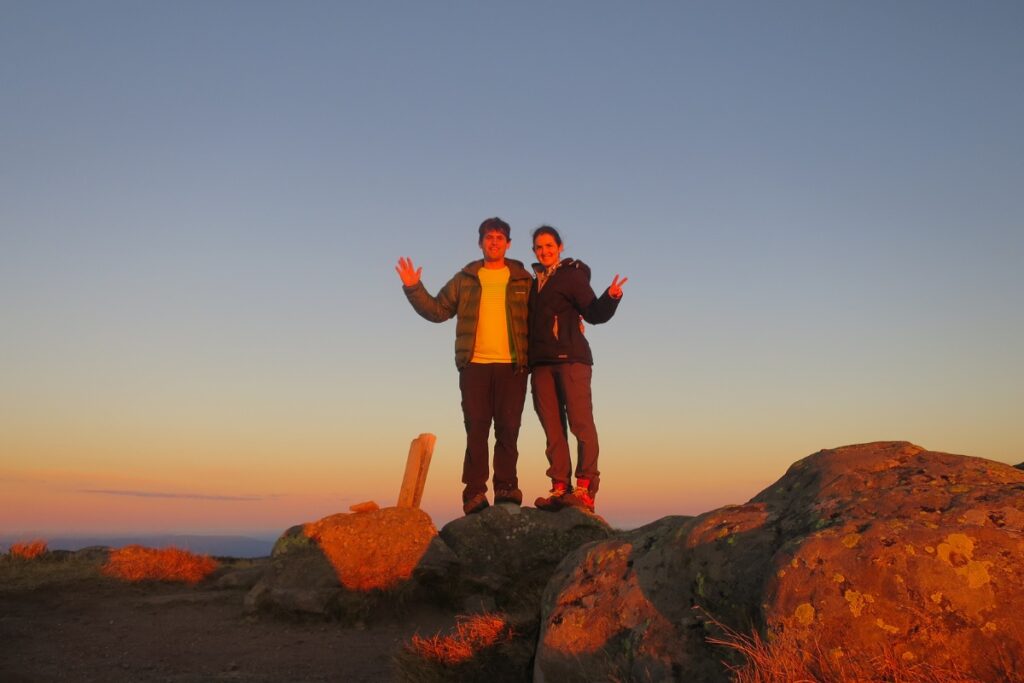
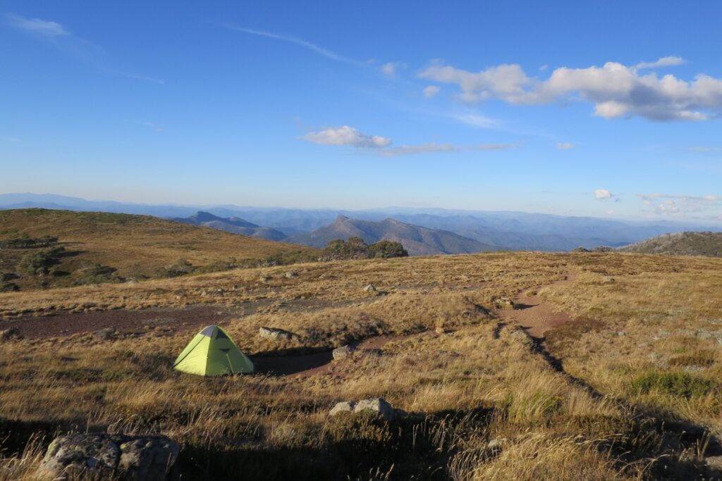
We did this 20km hike in autumn and wild camped on Mt Howitt itself – catching a spectacular sunset and views over Mt Buller. The weather was ideal with no wind but being in the Alps you need to keep an eye on sudden cold weather or bushfires. The iconic Vallejo Gantner hut is also an option if the weather turns.
Access
Trailhead: The hike starts at the Mt Howitt Carpark in Victoria, Australia
Suggested Meeting Point: If you’re coming from Melbourne Traralgon is the last major town for fuel and supermarkets. There is a General Store in Licola – but it is a small town so check if it is open.
Travel time: By car: 4.5 hours from Traralgon and 5 hours from Melbourne. This is Australia so everything is a long drive. If you’re planning to do this as a day hike I strongly recommend camping in Licola or at the trailhead. The final 50km or so is also along a dirt road so not recommended for lowered cars.
Also important to note that Parks Victoria close the entire Mt Howitt Road leading to this trail in winter (May-whenever they decide to open it) so this route would take an extra day walking along the road.
Crosscut Saw via Mt Howitt Trail Information
Hike time: 8 hours (plan 4hrs up, 4hrs down)
Season: Autumn (April)
Difficulty: Fitness (Grade 2: Moderate) Technical (Grade 1: Easy)
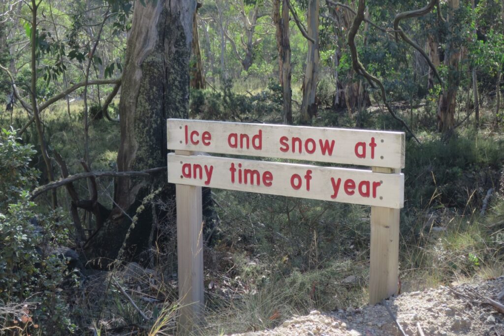
Safety Notes: As with all of Australia’s alpine areas the weather can change rapidly. At the time we went the risk of bushfires across Victoria was high – with the area around Licola feeling incredibly dry. Please take care with your bushfire safety out there. It can snow any time of year in the Australian Alps, so pack warm, and be aware that Mt Howitt is exposed with no trees and can be dangerous in windy conditions or when lightning is forecast.
Download and print the Crosscut Saw and Mt Howitt GPX file
App or map? While many rely on navigation apps these days I strongly recommend printing a copy of your hike maps using OpenTopo or similar and keeping it in a waterproof case. You should also consider an emergency GPS beacon like this.
Post Hike Report
Like many mountains in Australia driving to this hike is probably the longest part of the journey. For example – it is over 166km on winding and some dirt roads from the last big town Traralgon to where the hike starts. This is a “close” hike for us in Gippsland – but the drive was still over four hours!
Day 1
We didn’t arrive at the trailhead at the Mt Howitt carpark until 12.30pm – knowing full well we’d either be camping at the hut a short walk away or Mt Howitt this wasn’t a problem. However this would be too late if you’re planning to walk this in a day.
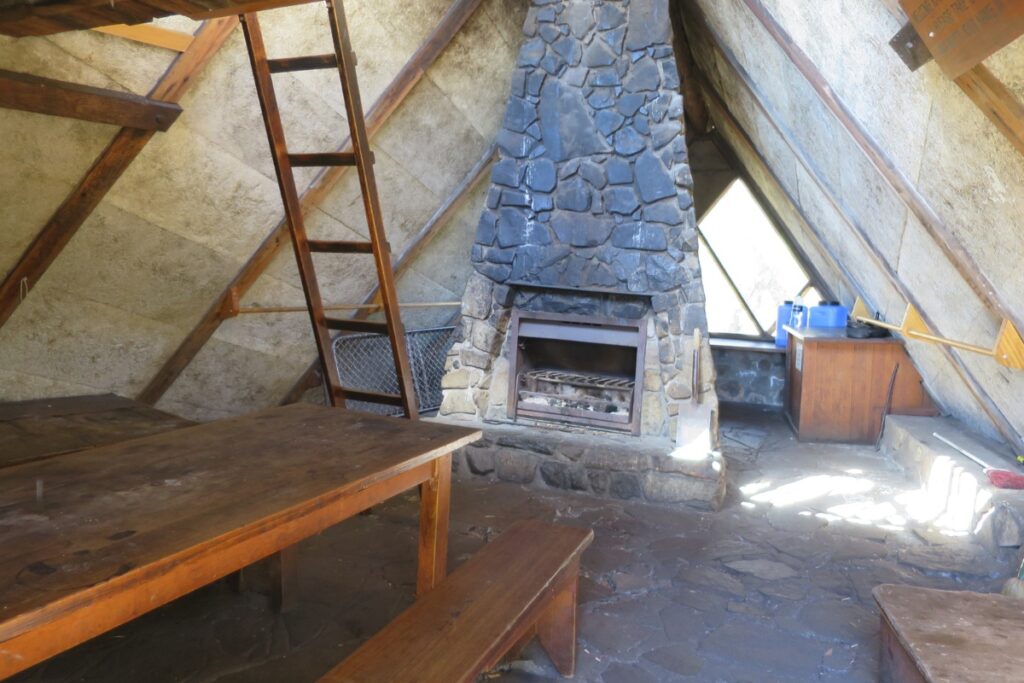
After checking our packs and water and locking the car we headed off towards the first point, the Vallejo Gantner Hut. The trail is wide and flat and meanders through the forest – many of the trees showing signs of bushfires of the past or things like snow gum die back. We’re told the hut was once accessible by car but is now walking access only.
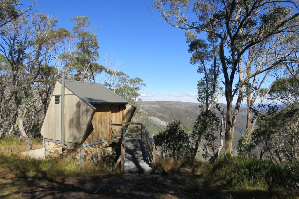
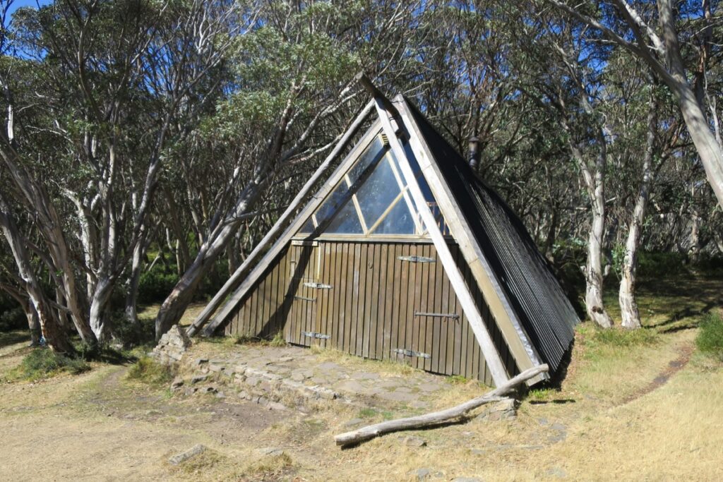
It took us around 1.5 hours of easy walking to reach the hut. The hut itself is really unique and home to Australia’s best “loo with a view” toilet which offers views while you poop over the mountains. This could be a nice simple walk if you’ve got kids and want to get into over-nighting with them.
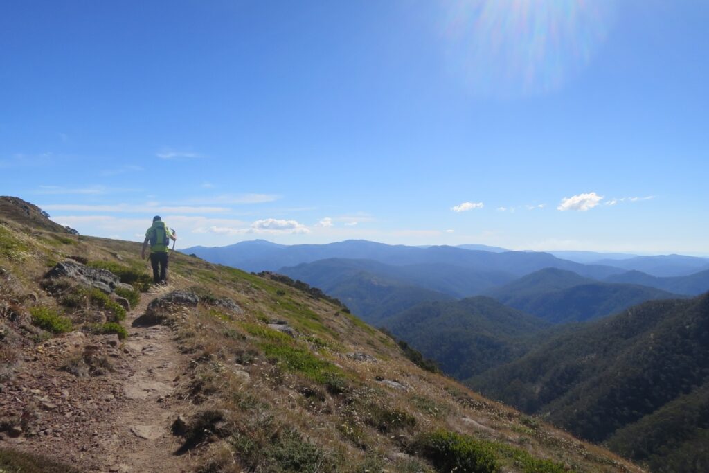
From here you’ll head west as the trail drops around 150m in elevation before you start the climb up to Mt Howitt. It is along this section you get the great views of the Crosscut Saw – the views from here in winter of the snow capped peak would be worth the walk alone – if the trail wasn’t closed off by Parks Victoria that is. Take a left at the junction and leave the AAWT temporarily to head towards Mt Howitt.
Overnight:
After around 1.5 hours of hiking we finally reached the summit of Mt Howitt, a rolling and vegetation free peak with 360 degree views of the alps. Dispersed camping is allowed here so we set up the tent before heading to the West Peak of Mt Howitt to enjoy a glass of wine and watch the sunset over Mt Buller. In windy conditions, or if lightning is possible, I wouldn’t recommend camping on the exposed peak and consider walking back to the hut to camp.
Day 2
The next morning we awoke early to catch the sunrise glow. We only had a short walk from Mt Howitt to the Crosscut Saw and took around 1 hour to reach the jagged ridge line. In winter this spot would be quite hazardous when the ridge is covered in snow I think. It’s possible to carry on from here to Mount Buggery (1608m) and Mt Speculation (1666m) and possibly spend another night but we decided to head back to the car to ensure plenty of time for the long 4.5 hour journey home.
Getting back from here is pretty straight forward as we simply returned the way we came via the Vallejo Gantner Hut. It goes without saying for some but make sure you have plenty of two things when doing this hike; water for yourself and fuel for your car. Don’t risk it in Australia and make sure you’re carrying a minimum of 2L of water per day per person.
Photos of Crosscut Saw & Mt Howitt
