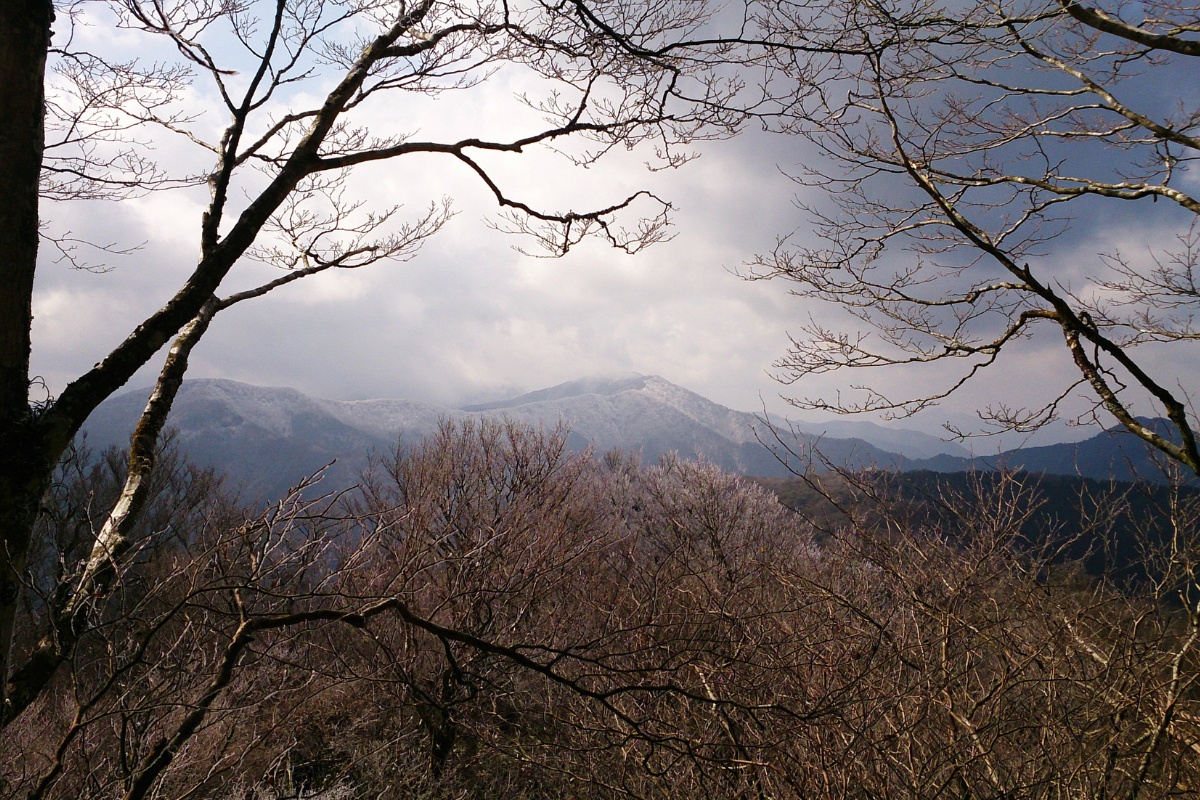
This 8km return day hike to Sanbojiyama passes along a section of the old Tosa Highway (Tosa Kaido 土佐街道) and a point where the three prefectures of Kochi, Ehime and Tokushima meet. The road was used during the Yamato and Meiji Eras. You can also access this hike via Sasagamine 笹ヶ峰. The hike reaches 1105m so snow is likely in winter.
Course Information
Hike time: 4 hours
Season: Late winter
Fitness: Grade 2 – Moderate | Technical: Grade A – Easy
*See how I rate my walks
Safety notes: Requires basic fitness otherwise you might struggle. Despite being a small mountain relatively speaking this area is quite isolated with no civilisation nearby. Mobile phone access is limited. Roads may be dangerous in the snow and require chains.
Access
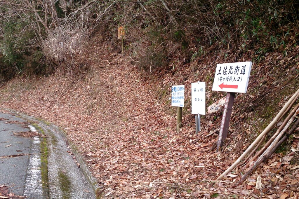
Trailhead: We started near this bridge on the lower sections of the trail due to snow on the road above. There is a second higher up starting point at the old Guardhouse Ruins Site at about 700m altitude. Access to both is by car only subject to snow.
Meeting Point: Family Mart Otoyo
Download and print the trail map
App or map? While many rely on navigation apps these days I strongly recommend printing a copy of your hike maps using one of the free topographic map services.
Post Hike Report
Our group of 6 left the Otoyo convenience store at about 9.05am and headed towards Tajikawa. You’ll pass the very old and historical Tachikawa Bansho and I recommend stopping before or after your hike as they serve pizza on alternating weekends.
We reached the starting point of the hike at 9.30am about half an hour behind schedule. The trailhead is located just after a bridge and is signed (in Japanese). The first section of the hike travels along the lower sections of the old Tosa Kaido up to the old Border Guard House ruins.
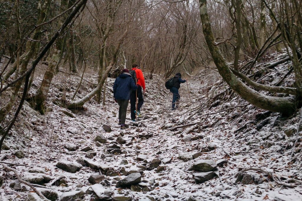
This first section of trail in the forest is quite beautiful but gets a little steep and slippery in some sections especially as you get closer to where the trail crosses the road again.
After reaching the road we continued onwards towards the ridge line. There are a few sections where the trail gets a bit unclear or scrambly and with snow underfoot you just have to take it easy. Eventually you will see a large timber pole marking the prefectural border and the “last resting spot” on the old Tosa Road before Shikokuchuo. Sasagamine (笹ヶ峰) is to the west. From here we headed east following the ridge along a much less clearly defined trail. There are a few steep sections that may prove difficult in muddy conditions but otherwise it was a fairly straight forward walk.
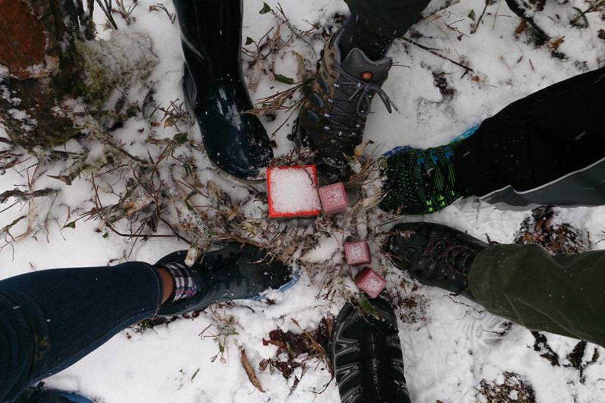
Once we reached our destination, the point at which Kochi, Ehime and Tokushima prefectures meet we had lunch. The marker itself isn’t that prominent, but we enjoyed the walk and history as well as the novelty of being in there prefectures at once.
We returned via the same trail to the junction either the road, however we decided to walk down the road itself (which was closed to vehicles) rather than return via the trail we came up due to slippery conditions.