

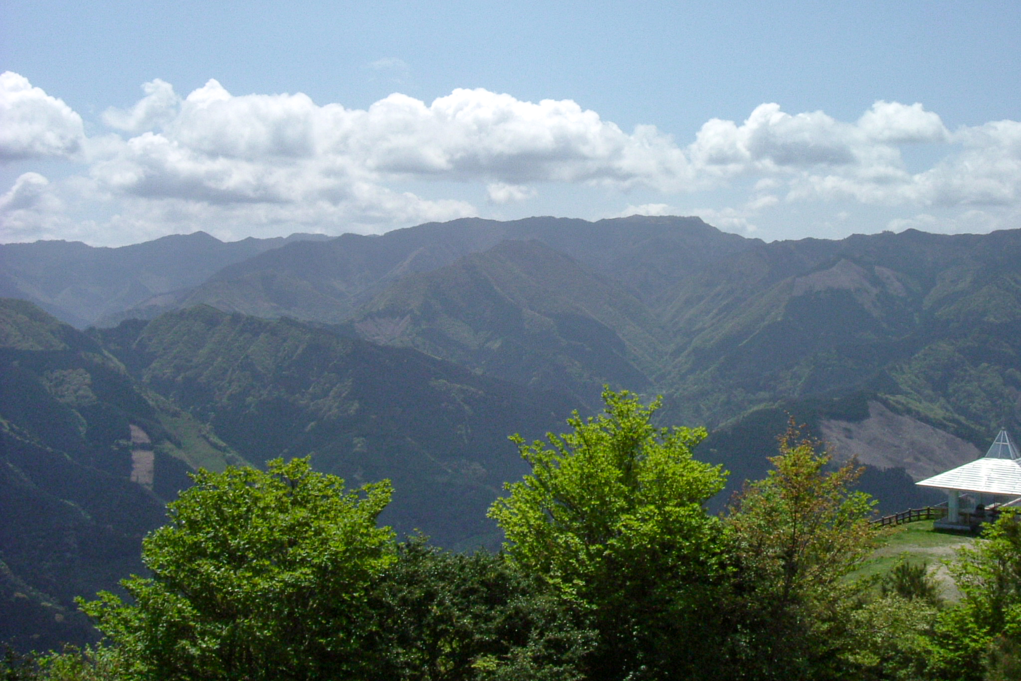
Mt Sazareyo 佐々連尾山 is a 1,404m peak on the Ehime/Kochi border located near my old stomping grounds around Motoyama-cho. The moderate 6km hike offers views across to the Akaishi mountain ranges with beautiful flowers at the right time of year and a partially sasa-covered peak.
Starting directly next to the Shiraga tunnel (which is a place worth visiting on its own) the hike is the peak is actually accessible by car via a narrow but paved mountain road (similar to one of my favourite places Mt Kajigamori). It is possible to hike this one on a longer trail from the Ehime side which I’ll detail below. Mt Sazareyo is on the Shikoku 100 Famous Mountains list I hope to complete one day.
⚠️ This is a planned hike. I haven’t walked this trail but am sharing my research in English to encourage people to get out there and explore Shikoku (and also so I can do the hike, too!). Please do your own planning and research. If you do end up hiking this mountain, I’d love to hear from you.
Access & Course Information
Option 1: From the Shiraga tunnel (Kochi side)
Starting from the Shiraga Tunnel south entrance (佐々連尾山 登山口) the trail hits hard and fast with most of the elevation gain happening straight away (400m in just 1.5km). Once you reach the ridgeline, the trail bobs up and down towards the peak with great views on either side when the weather is clear. People report that maintenance works on the tunnel may restrict access on weekends (no traffic control) so be aware of that if coming from the Ehime side – maybe better to approach from Motoyama.
Trailhead: Shiraga tunnel trailhead
Estimated hike time: 4 hours (6km with 640m of elevation gain)
Estimated fitness: Grade 2 – Moderate | Technical: Grade B – Moderate
*See how I rate my walks
Useful links: Yamap course map with pictures (In Japanese)
Option 2: Via Nakagawa Pass (Ehime side)
For the adventurous (or those seeking more of a walk) this longer 6+ hour option with close to 1200m of elevation gained. Starting down at the end of a road in the Nakanokawa village there is a camping ground nearby. The trail initially follows a mellow forest road before the 3.3km, 550m slog up to Nakagawa Pass (中川峠) and the ridgeline.
Trailhead: Unnamed road
Estimated hike time: 6 hours (14.3km with 1,172m of elevation gain)
Estimated fitness: Grade 3 – Hard | Technical: Grade B – Moderate
Useful links: Yamap trail report with picures (In Japanese)
*See how I rate my walks