This hike to the Mount Usu outer rim at 500m is a 6.5km return hike with 269m of elevation gain that starts and finishes at the Showashinzan Station Ropeway (昭和新山駅).
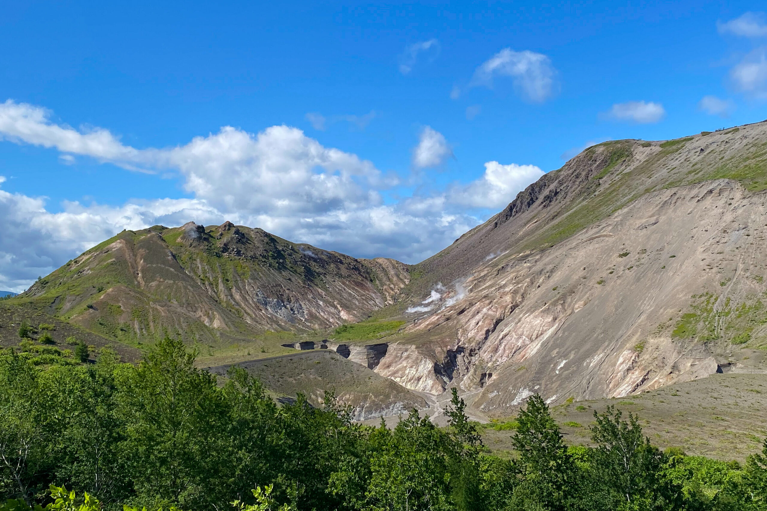
The Mount Usu area is famous for its volatile volcanic history and the striking presence of Showashinzan, a lava dome that burst out of a flat wheat field in the 1940s. While the area is active, the trails are well-developed and provide incredible views of the steaming craters and the nearby Lake Toyako.
Trail Information
Hike time: 2-2.5 hours
Season: Summer (June)
Fitness: Grade 1 – Easy | Technical: Grade A – Easy
See how I rate my walks
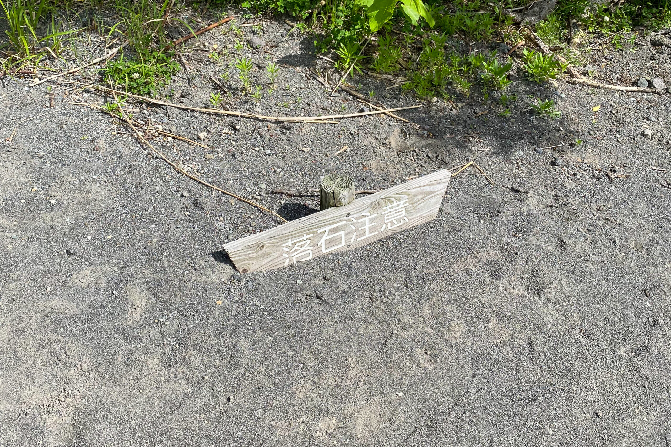
Safety notes: While Hokkaido is brown bear country, this is a popular, well-trodden hike with high foot traffic, meaning a much-reduced risk of bears if that is a concern for those with kids. Be sure to check the last ropeway departure time to avoid the long walk down.
Access
Trailhead: Showashinzan Station Ropeway 昭和新山駅
Access by car is the easiest for this hike, however public transport is possible.
Suggested Meeting Point: Seikomart Soubestu
Download or view trail map
App or map? While many rely on navigation apps these days I strongly recommend printing a copy of your hike maps using one of the free topographic map services.
Post-Hike Notes
The hike starts at the Showashinzan tourist area, dominated by the sight of the Showashinzan volcano. It is a geological marvel; it only began forming in 1943 and reached its current height in just two years. The ropeway itself is a fun side trip, and once you reach the top station, there is a cafe where you can grab a drink or a snack before hitting the trail.
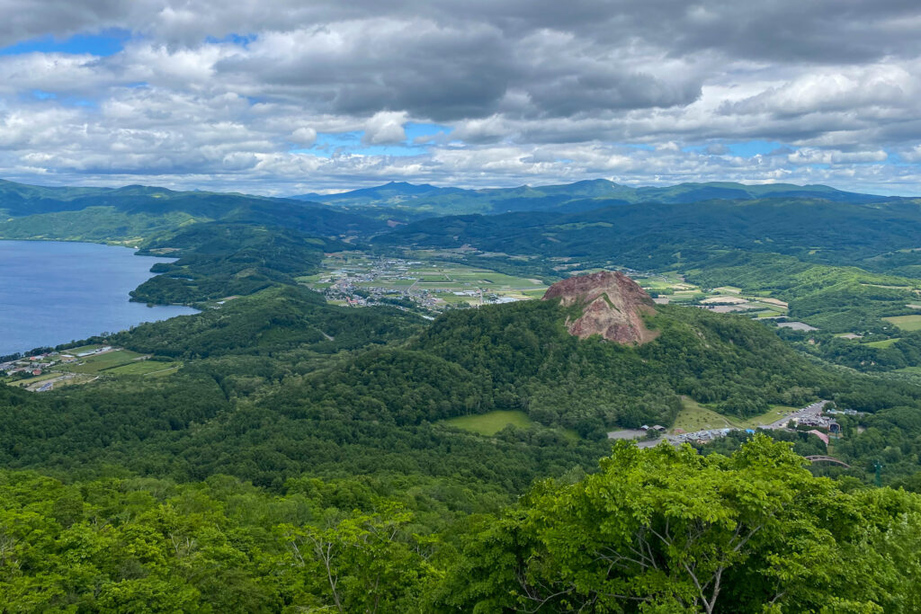
Taking the gondola allows you to start your walk already overlooking the massive, steaming crater of Mount Usu. If you prefer to walk – here isn’t a clear path up the peak from this side that I could see – but you can do it by walking up and back from the Toyoko-cho side.
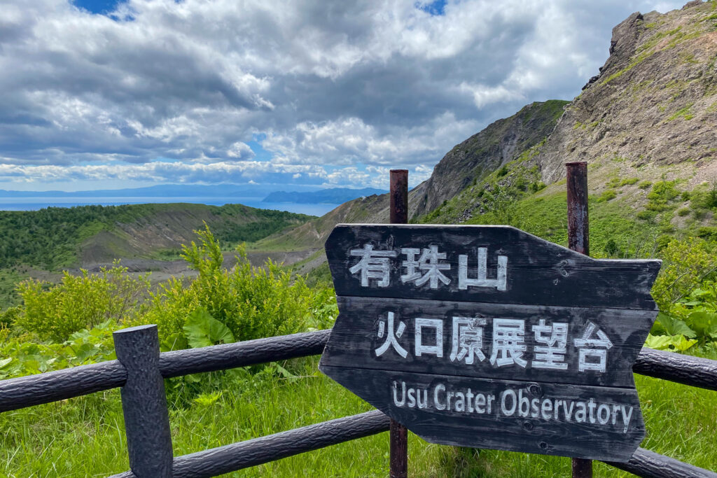
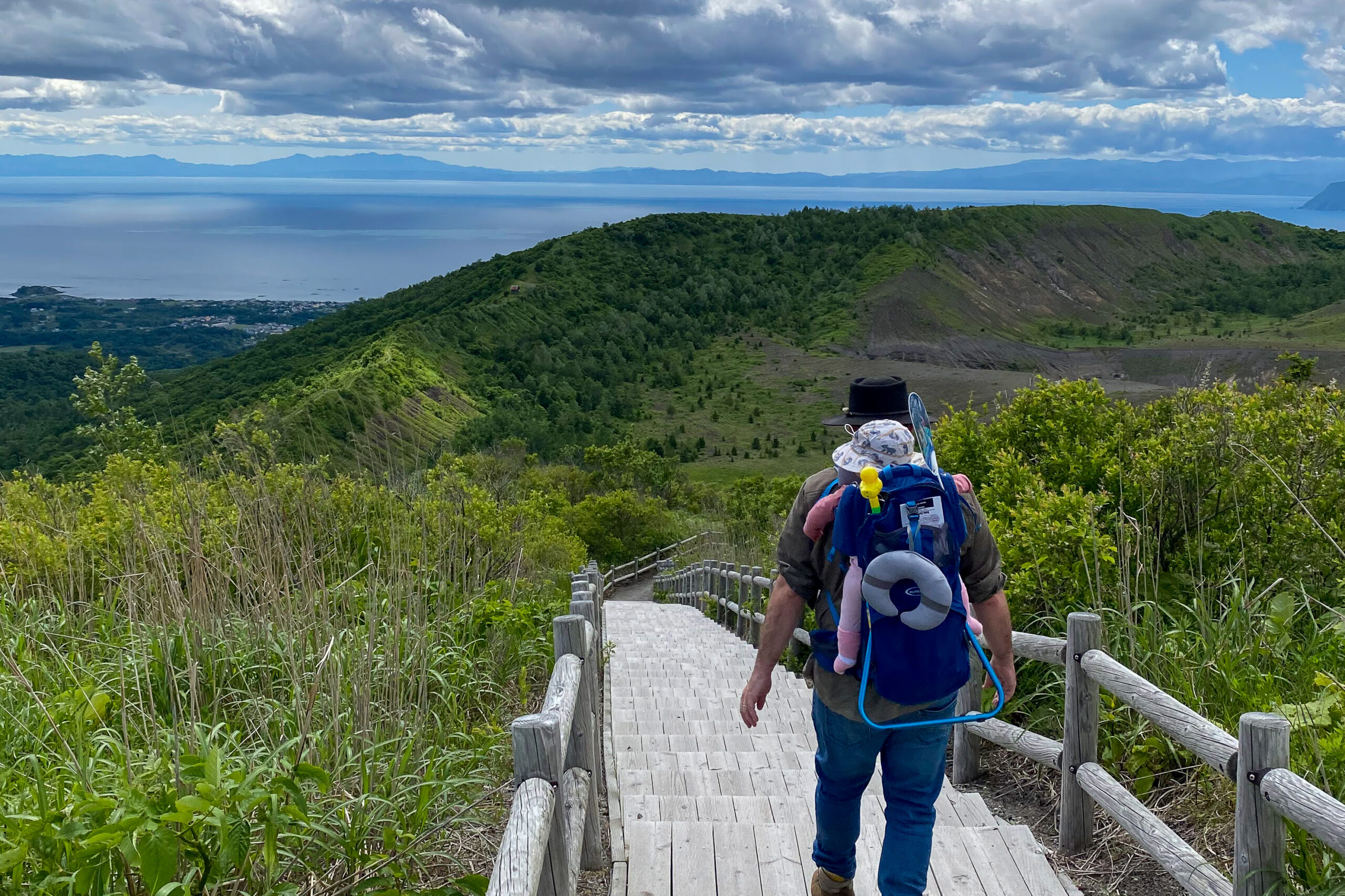
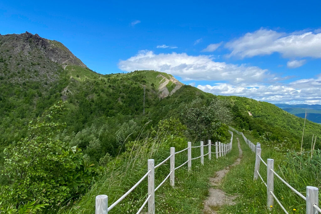
We set off on the well-built path towards the Usu Crater Observation Deck. From the observation deck, where most people stop, we decided to continue down the full outer rim loop towards the Minami-gairinzan Lookout.
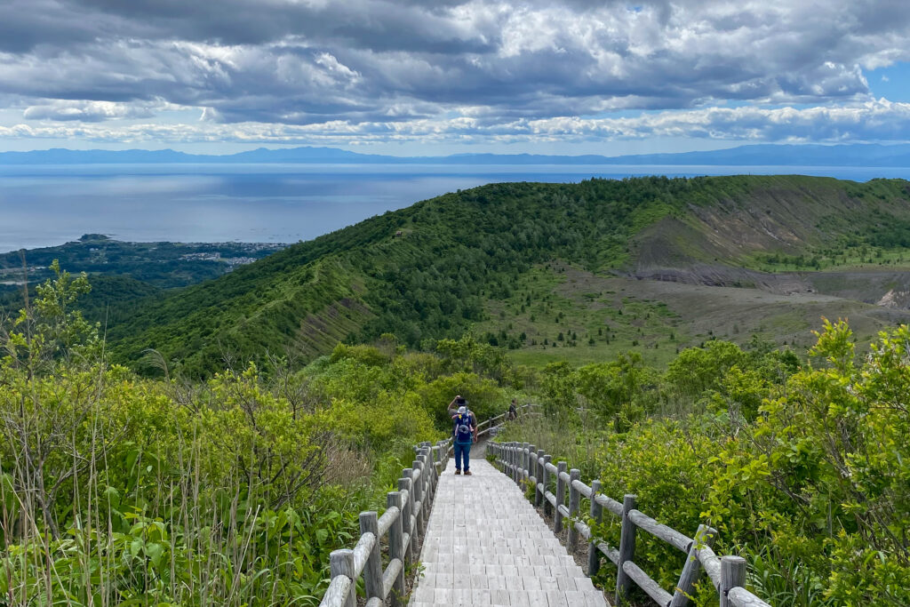
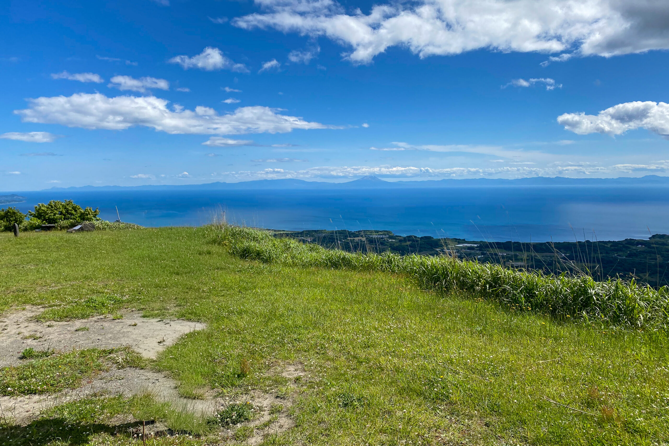
This section of the walk provides great views over the nearby township of Toyako and the blue expanse of the lake. You can actually continue the trail all the way down into the township if you’d like – perfect for stopping for lunch or a convenience store snack before returning. However, we didn’t have a lot of time left in the day and decided to head back to the gondola to ensure we had plenty of time to get back home.
The “Descent”
The way back is very straightforward as it follows the same well-marked path. Just don’t miss the last gondola unless you want to take the long way down on foot. This is a great hike suitable for families with kids or those looking for something more chill with civilization nearby.
If you are in the area during summer, I highly recommend visiting Lake Toyako. We found the water to be very warm when we visited, and it’s a great spot for camping by the lake. Before leaving the base area, stop in at one of the nearby gift shops. We spoke to a wonderful lady who had been working there for years.
As with much of Japan, you can see that places like this were built in the 80s; many buildings, like the old glassworks shop, are no longer in operation, giving the area a nostalgic, slightly frozen-in-time feel.
Images of the Mount Usu hike