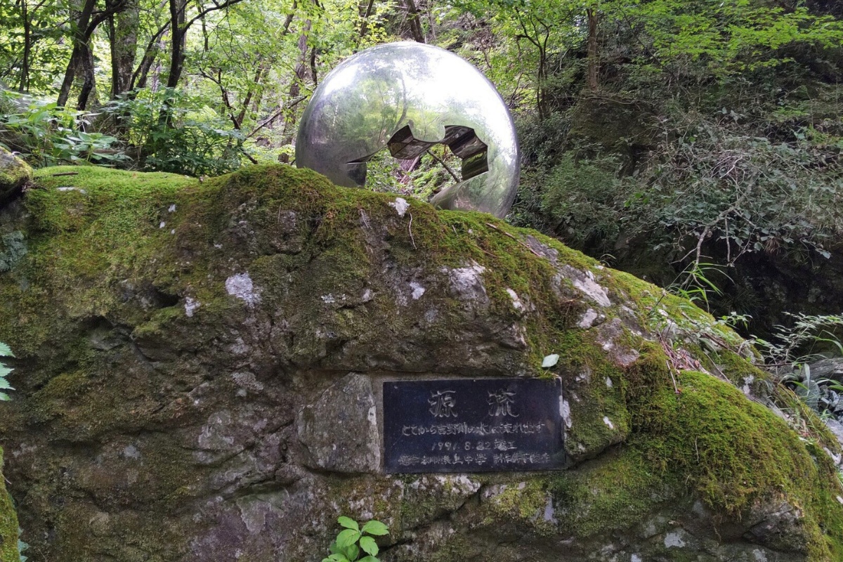
The Yoshino River, arguably best known for it’s popularity as one of Japan’s best rafting rivers, is the only river in Shikoku that touches all four prefectures. It’s rocky base ensures crystal blue waters, with fantastic swimming spots up river in places like Otoyo. High in the mountains of Kochi is a hidden monument marking the source of the river.
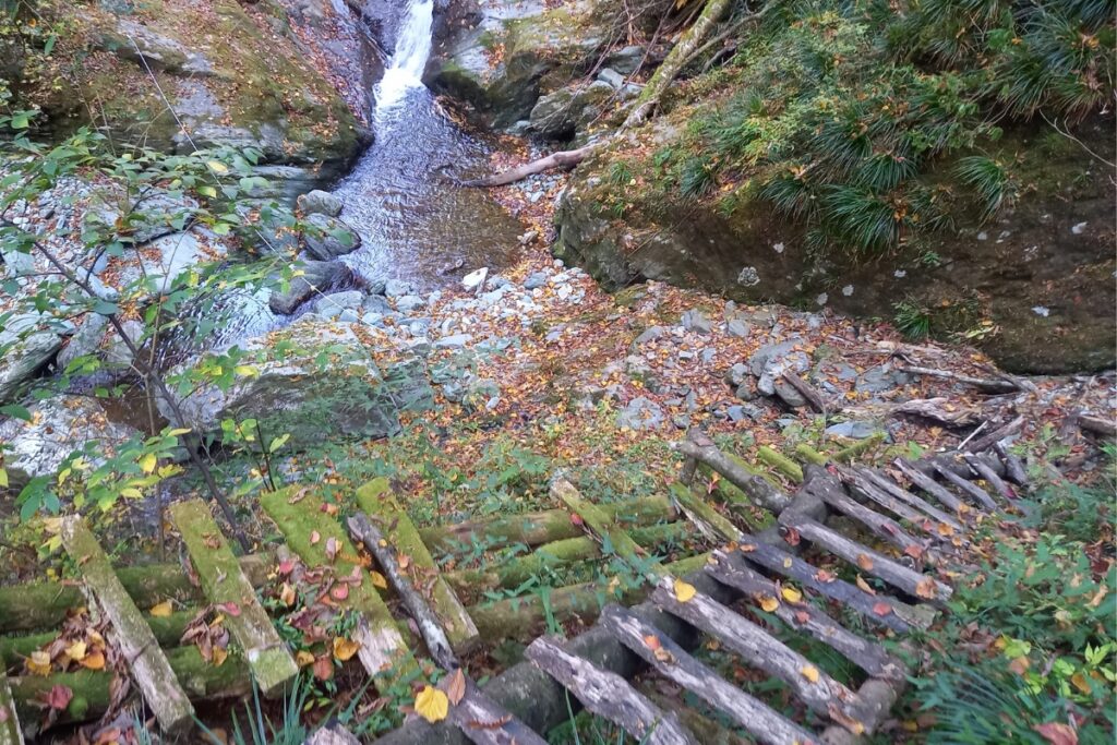
This challenging 9.5km hike follows the river up the steep mountain to its source “吉野川源流” with a solid +-500m elevation difference considering the terrain. There are a number of old and poorly maintained timber bridges (basically, trees with steps) and sections where you’ll need to rock scramble.
Trail Information
Hike time: 5 hours (about 2.5hrs up, 2hrs down with some buffer time because you’ll probably need it)
Season: Spring (April)
Difficulty: Fitness (Grade 2: Moderate) Technical (Grade 3: Experienced)
Safety Notes: It isn’t recommended to do this hike after a lot of rain or when rain is forecast as it could become dangerous quite quickly. The first time we did this hike we turned back half way as we did not have waterproof / river shoes. This could be considered a very basic canyoning trek. The source is at 100m+ so snow may be present even out of season.
Access and Parking
Trailhead: Shiraidani Auto Camping Ground
Suggested Meeting Point: Tosa Suehiro Supermarket is the last major store for food supplies. You could also camp at the Shiraidani Auto Camping Ground.
Travel time: Allow 2 hours to travel to the remote start point from the highway.
Download and print the trail map
App or map? While many rely on navigation apps these days I strongly recommend printing a copy of your hike maps using one of the free topographic map services.