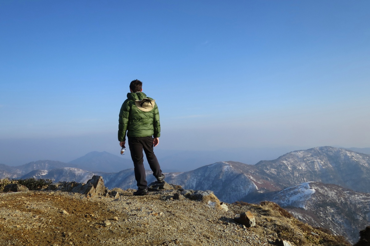
You might have noticed that a lot of common topographic maps don’t have data for Japan. We share the best free topographic map option for Japan and explore the steps you should take before going on any serious hiking in Japan.
Should I use an app or carry a map?
Why not both? While it is common practice in our home countries to simply use a phone and hiking in Japan is predominantly along well marked trails and paths it is not wise to hike without a map or proper GPS especially in the harsher seasons.
We recommend printing a copy the map for your hike and also familiarising yourself with some basic kanji as the maps are likely to be in Japanese. Phones can go flat (more so in cold weather) and if you’re not a local you don’t want to get caught out. Follow these four steps to make sure you’re prepared for your hike in Japan.
1. Download or print a topographic map of your hike
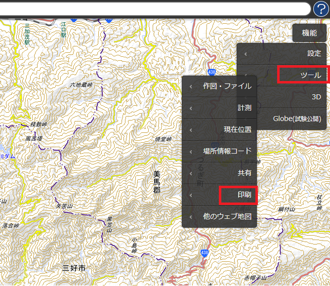
If you’re looking for free printable topographic maps “地形図” of Japan the Japanese GSI have an online map that you can print from. The website is in Japanese but have a look at the image below to see how to do it. You can print to A3 or A4.

Click ”シール” then ”印刷” to print off a map in A4 or A3 size for free. You can also purchase them if you’ll use it regularly.
2. Learn to read a topographic map
While many people hike using GPS devices it is highly recommended to make yourself familiar with a topographic map of the area you are hiking in. There are many sites on the internet where you can learn how to read and use a topographic map and compass like this one. People who hike without knowledge of what a topographic map is and how to find your location may eventually find themselves in trouble.

Even though I have GPS available I always carry a compass and a paper copy of a topographic map with me! This is a good site with a lot of information about topographic maps and navigation in Japan.
3. Learn basic kanji for hiking and running in Japan
If you cannot read Japanese or Kanji you’re going to have a harder time when you hike in Japan. It’s also a fun way to study! Some of the basic kanji that you’ll see a lot on hikes are below:
- mountain (山)
- river (川)
- trailhead (口)
- pass (峠)
- summit (山頂)
- hut (山小屋)
- altitude / height (高崎)
- danger (危ない 危険)
Here is a great site explaining some useful Kanji and map features.
4. Use a navigation app as backup
I use two different navigation apps when I am hiking in Japan and both are free on Android. First, I use the Android Wikiloc app to record my hikes as I go and then I upload the trails to the WikiLoc website afterwards. This allows me to see how long the hike took me exactly, and record where I went. From the WikiLoc website you can download the .gpx files of over 5,000,000 hikes, walks and bike trails from around the world.
Second, I use the GPX Viewer android app while hiking to keep an eye on my progress and occasionally check to confirm that I am going the right way. While most of Japan’s mountains trails marked; if you can’t read Kanji, if the signs are old or inaccurate of if there is low visibility it helps to have some way to check your position. I load a GPX file of my route before I leave, select a topographic map and let it load on the app and then turn my phone on to airplane mode to save battery on my hike. This system seems to work well for me however if you’re doing more serious or risky hiking you should consider investing in a proper GPS device.

