

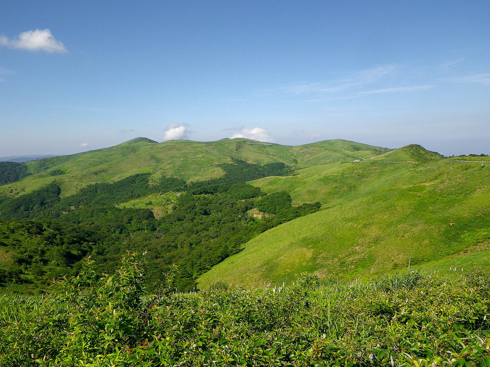
This short out-and-back day hike to Ōkawa-mine (大川嶺, 1,525m), Mt Kasatori (笠取山, 1,562m), and Mt Ubahodo (ウバホド山, 1,482m) starts conveniently at 1,460m altitude right off the Ehime Prefectural Route 328, making it a gentle stroll through open grassland and an ideal option for families, beginners, or anyone hiking with kids.
⚠️ This is a planned hike. I haven’t walked this trail but am sharing my research in English to encourage people to get out there and explore Shikoku (and also so I can do the hike, too!). Please do your own planning and research. If you do end up hiking this mountain, I’d love to hear from you.
Overview
Located on the northern edge of the Shikoku Karst region, this trail delivers massive ridge views for very little vertical work. Ironically, despite being the easiest to reach from the road, Ōkawa-mine is the only peak of the trio to make the Shikoku 100 Famous Mountains (Shikoku Hyakumeizan) list… though I suspect the road wasn’t paved when the list was published! Lists aside, the whole ridgeline is fantastic, and it is well worth visiting all three while you’re up here.
Access & Course Information
Starting at the Okawa-mine/Kasatori parking lot (大川嶺登山駐車場) this 6.5km route should take around 3.5 hours, depending on breaks, and features a 350m elevation gains mostly after Kasatori and before Ubahodo. This hike is a really easy way to experience Shikoku’s great views, sasa covered peaks and experience the weather above 1500m.
Trailhead: Okawa-mine/Kasatori parking lot 大川嶺登山駐車場
Estimated hike time: 3.5 hours (6.5km)
Meeting point/access route: From Niyodogawa, Kochi (1hr) or from Matsuyama, Ehime (1.5hrs)
Estimated: Fitness: Grade 1 – Easy | Technical: Grade B – Moderate
*See how I rate my walks
Safety notes: As with all hikes at this altitude, snow and cold conditions can happen during pretty much any season except during peak summer. Be aware of the weather and walk to your ability (including for lightning). The sasa grass can be wet in the mornings so gaiters may be wise, and Japan is also home to some dangerous animals lika mamushi so always carry a first aid kit and let someone know your plans.
Useful links
- YAMAP course map and photos (in Japanese)
- Yamareco hike report (Japanese)