If you’re chasing a classic ridgeline and exposed peak hike, the Mt Feathertop via the Razorback hike is the gold standard. As Victoria’s second highest mountain at 1,922m, Feathertop is one of Australia’s most beautiful peaks due to its distinct shape and prominence. For me it feels like a much more well known version of the Crosscut Saw hike, which is also amazing in summer and winter.
Overview
This 22km day hike to Mt Feathertop via the Razorback is an 8 to 9 hour return trek with 905m of elevation gain. The journey follows the narrow spine of the Razorback, offering constant views and a “top of the world” vibe that’s hard to beat (even in the clouds). It could quite easily be turned into an overnight hike if you have the appropriate gear.
Access
Trailhead: Razorback Trailhead
Suggested Meeting Point: Bright IGA
Travel time: By car: 1 hours from Bright, 4.5 hours from Melbourne
Mt Loch Information
Hike time: 8 to 9 hours return
Season: Early Autumn (March)
Fitness: Grade 3 – Hard | Technical: Grade A – Easy
See how I rate my walks
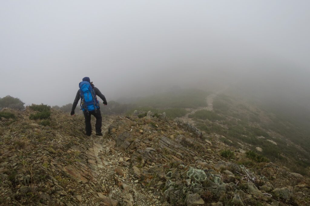
Safety Notes: You are exposed for almost the entire hike. Snow, freezing rain, and gale force winds are possible in any month. High altitude hiking requires respect; if the clouds drop, visibility on the Razorback can vanish instantly. Pack for the worst case scenario, even in summer.
Download and the Mt Dunn GPX file
App or map? While many rely on navigation apps I always recommend printing a copy of your hike maps using OpenTopo or similar and keeping it in a waterproof case. You should also consider an PLB or other emergency device in Australia.
Post Hike Report
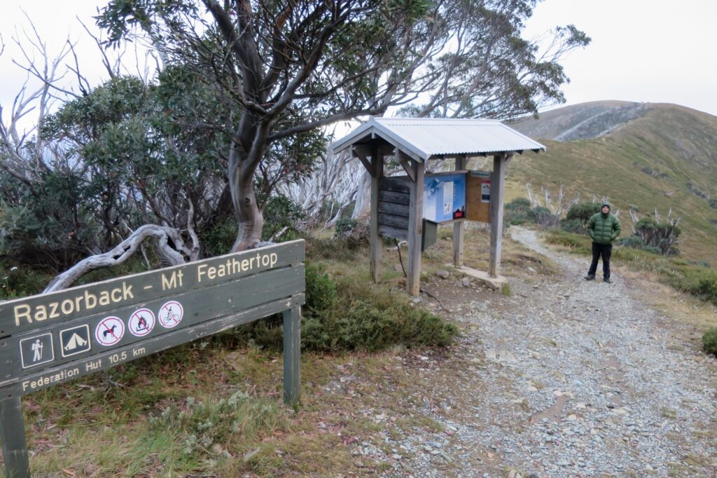
Staying the night before at Dinner Plain to allow an early start we set off from Diamantina Hut around 7.30am. We were on the fence about whether we’d do this given the cloudy day, but decided to proceed.
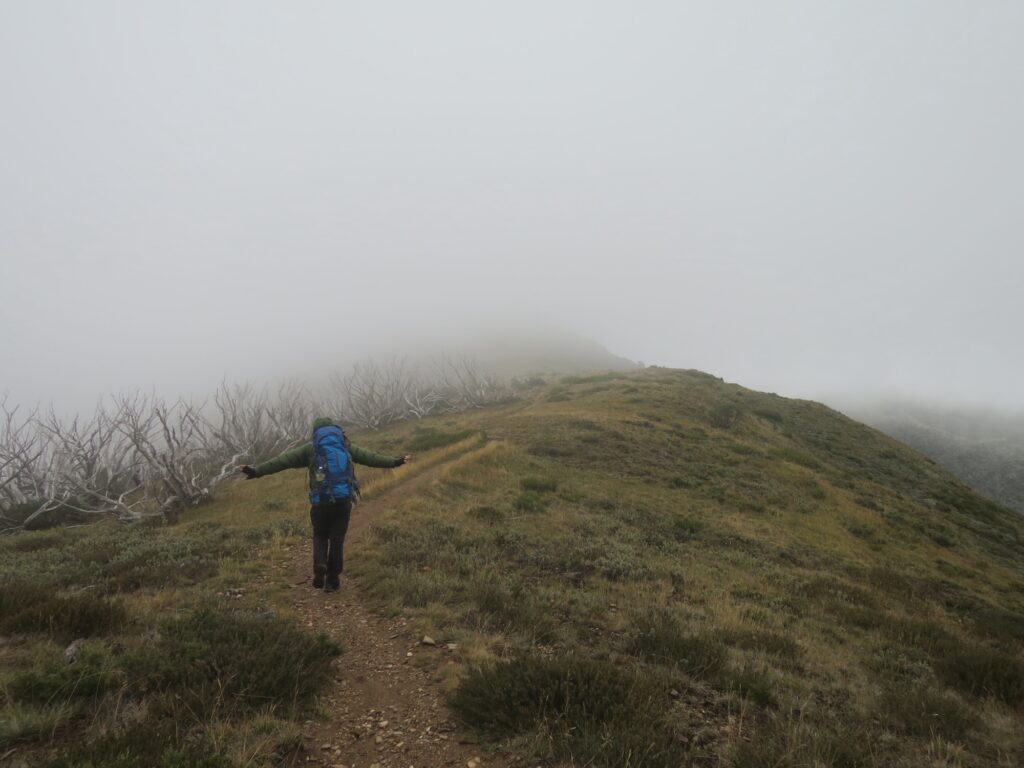
Within the first few hundred metres you’ll head up to around 1760m and hit a junction with the Bon Accord Spur – stay right to keep to the Razorback. From here, the single trail follows the spur line, undulating as you go.
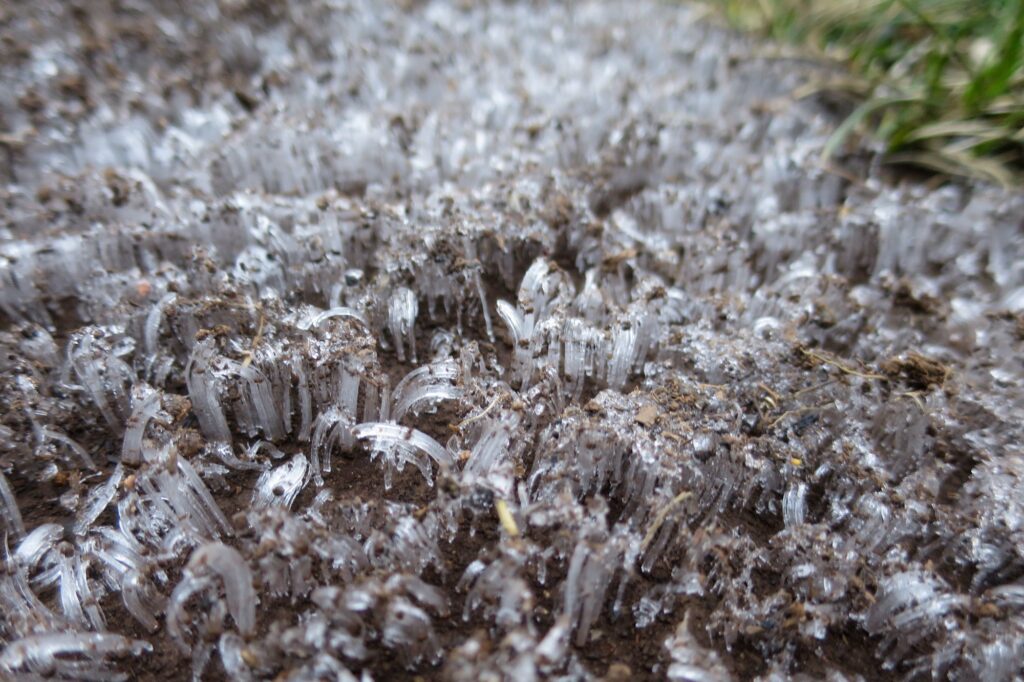
About 4km in, you hit the “Big Dipper” – a sharp gash in the ridge where the trail drops suddenly before a steep climb back up the other side. As you progress, you’ll pass the junction for Champion Spur; again, keep right. Even in March, we saw ice forming in the shadows of the rocks – a reminder that summer ends early at this altitude.
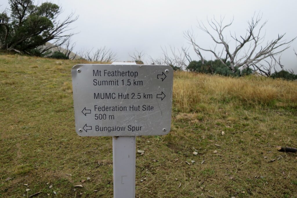
After about 9km of ridgeline walking, you reach a major junction known as “The Cross.” This is where you make your final summit choices: taking a left leads down to Federation Hut (about 500m away) if you need shelter or are planning to camp overnight, but we once again took a right towards the summit.
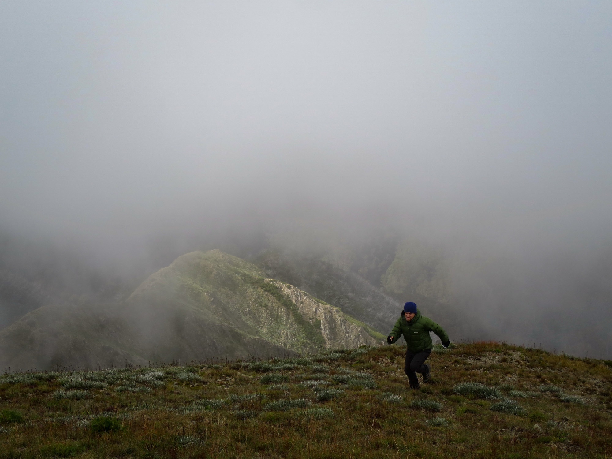
We took a slight detour to Little Feathertop on the way. It’s a short side trip that gives a great perspective of the final “pyramid” climb. Rejoining the main track, we pushed towards the final summit.
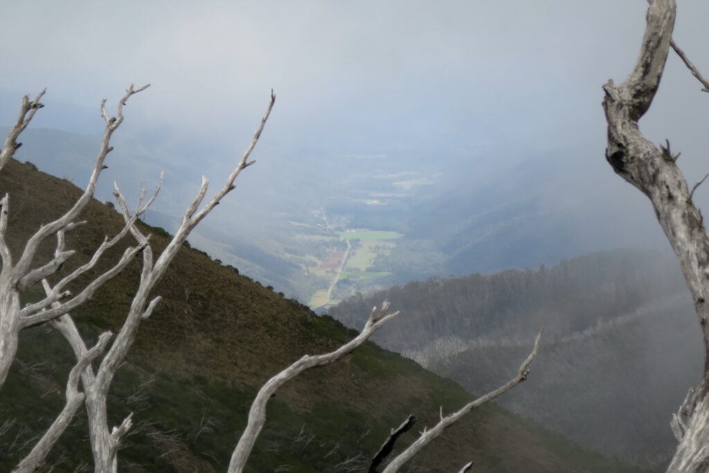
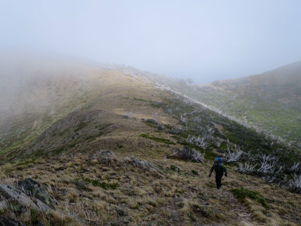
The final climb is an little slog, but looking back we caught glimpses of the valley and houses below through the clouds… its a real “top of the world” ambient vibe when the clouds sit just above your head like this.
The return leg is a slog. Unless you’re a marathon runner or really regular hiker, you’ll start to feel the burn and by the halfway mark you’ll be wishing you were done already. I was carrying a heavier pack today – essentially an overnight setup without the tent – to account for the weather risk, and the weight definitely made the undulations feel like mountains themselves.
After a few “are we there yet” false finished – reaching the car around 4.30pm was a top tier feeling. There isn’t much better than moving, without having to do the moving yourself, in a car after a long hike in my opinion!
Needing to make ground back to the south side of Victoria, we bypassed the busy tourist hubs of Bright and stayed overnight near Myrtleford for a quieter end to the trip, stopping at a pub for a well earned meal before the final drive home.
Other photos of Mt Feathertop