

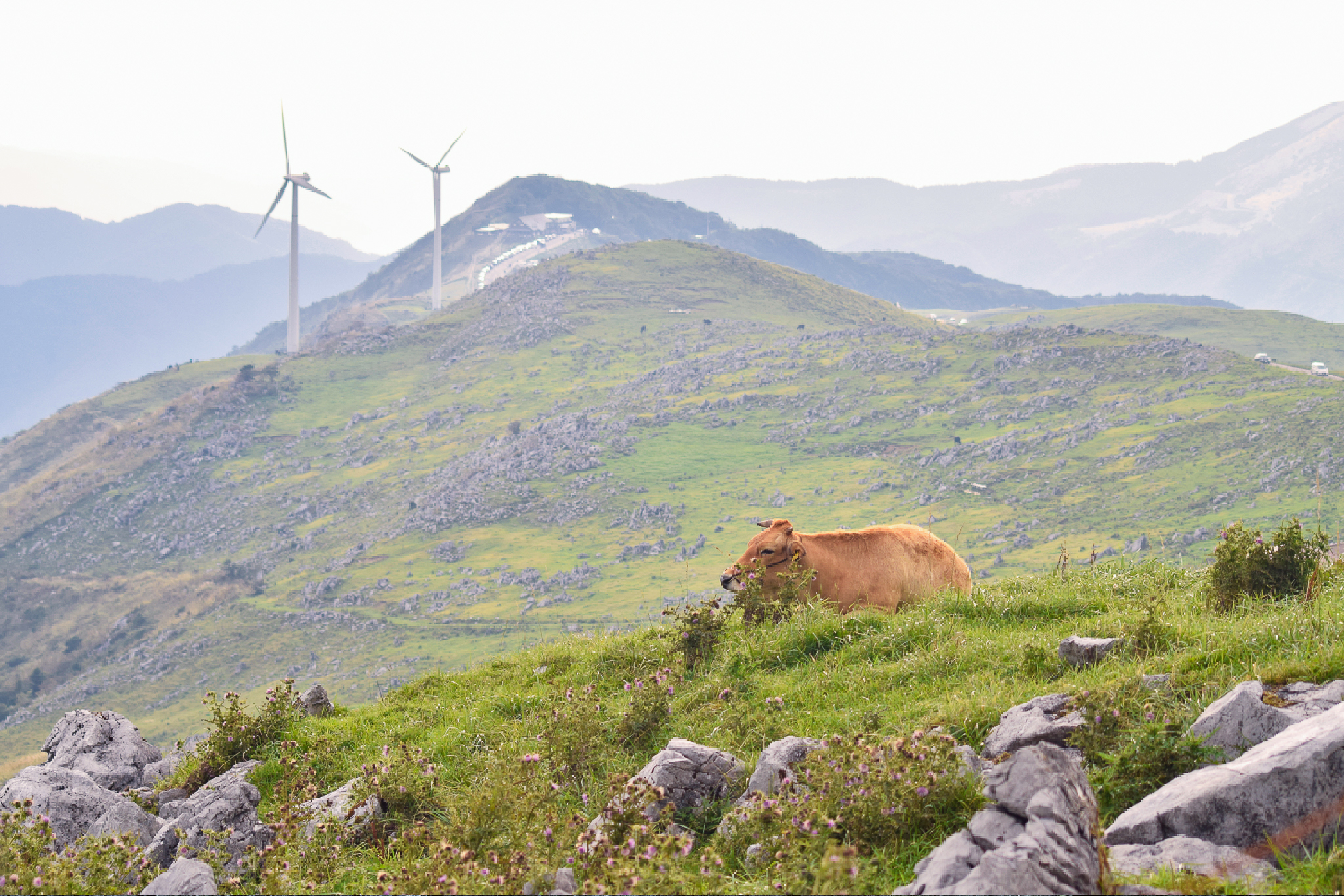
Straddling the border of Ehime and Kochi Prefectures, the Shikoku Karst sits at an average altitude of 1,000 to 1,400 meters. Known for its distinct white limestone outcroppings, open alpine meadows, and grazing cattle, this area offers some of the easiest walks above 1400m in western Japan.
The Tengu Highlands form part of this karst with three peaks from the Shikoku Hyakkumeizan nearby: Tengu-no-Mori 天狗ノ森, Godan Kogen 五段高原, and Onogahara 大野ヶ原. All are easily accessible from Prefectural Route 383 (the “Shikoku Karst Sky Route”) making these peaks exceptionally beginner and family friendly. You can even get icecream nearby!
⚠️ These are planned hikes. I haven’t walked these yet myself but am sharing my research in English to encourage people to get out there and explore Shikoku (and also remind myself!). Please do your own planning and research. If you do hike these or find it useful, I’d love to hear from you.
Access & Course Information
The list below will details the short walks to each individual peak from the road (Option 1), but I’ve also included a long hike of the whole karst for those who prefer to really stretche their legs as Option 2.
Tengu-no-Mori 天狗ノ森 – 1,485m
At 1,458m Tengu-no-Mori is the highest peak in the Shikoku Karst (just), and features a unique “forest therapy trail” cushioned with natural cypress chips located just a short walk from the Tengu Kogen area.
Trailhead: Parking near Hoshifuru village
Estimated hike time: 1.5hours (2km) with 140m elevation gain.
Estimated Fitness: Grade 1 – Easy Technical: Grade A – Easy
Useful links: Yamap trail info
Onogahara 大野ヶ原 – 1,403m
Onogahara (1,403 m at its summit, Genji-ga-dama) is named after the 16th-century warlord Ohno Naomasa, reachable via a short 30 minute walk from the upper parking area. The name apparently stems from a Genpei War story where fleeing Heike warriors mistook the ridge’s white limestone rocks for an advancing army of Genji soldiers.
Trailhead: Genjigadabashita Parking Lot 源氏ヶ駄場下 駐車場
Estimated hike time: 0.5hours (1km) with 100m elevation gain.
Estimated Fitness: Grade 1 – Easy Technical: Grade A – Easy
Useful links: Yamap trail info
Godan Kogen 五段高原 – 1,456m
Godan Kogen doesn’t have much prominence however you can hike to its highest point known as Godan-jo 五段城 (a suffix usually given to castles). The rocky peak is a short walk from the road or a slightly linger walk via the road from Mezurutaira camping ground. It means “five tiered castle” in Japanese.
Trailhead: Roadside parking
Estimated hike time: 0.5 hours (1.5km) with 80m of elevation gain
Estimated Fitness: Grade 1 – Easy Technical: Grade A – Easy
Useful links: Yamap trail info
Option 2: Full loop of the Karst
This 12km loop traverses the full ridge of the Tengu Highlands before diving into mossy forests to via Tengu-no-mori to Kurotakiyama (1,367m). You can start this basically anwhere you can find parking along the route.
Trailhead: Anywhere above can be used as your start point
Estimated hike time: 6.5 hours (12km) with 580m of elevation gain
Estimated Fitness: Grade 2 – Moderate Technical: Grade A – Easy
Useful links: Yamap trail info