

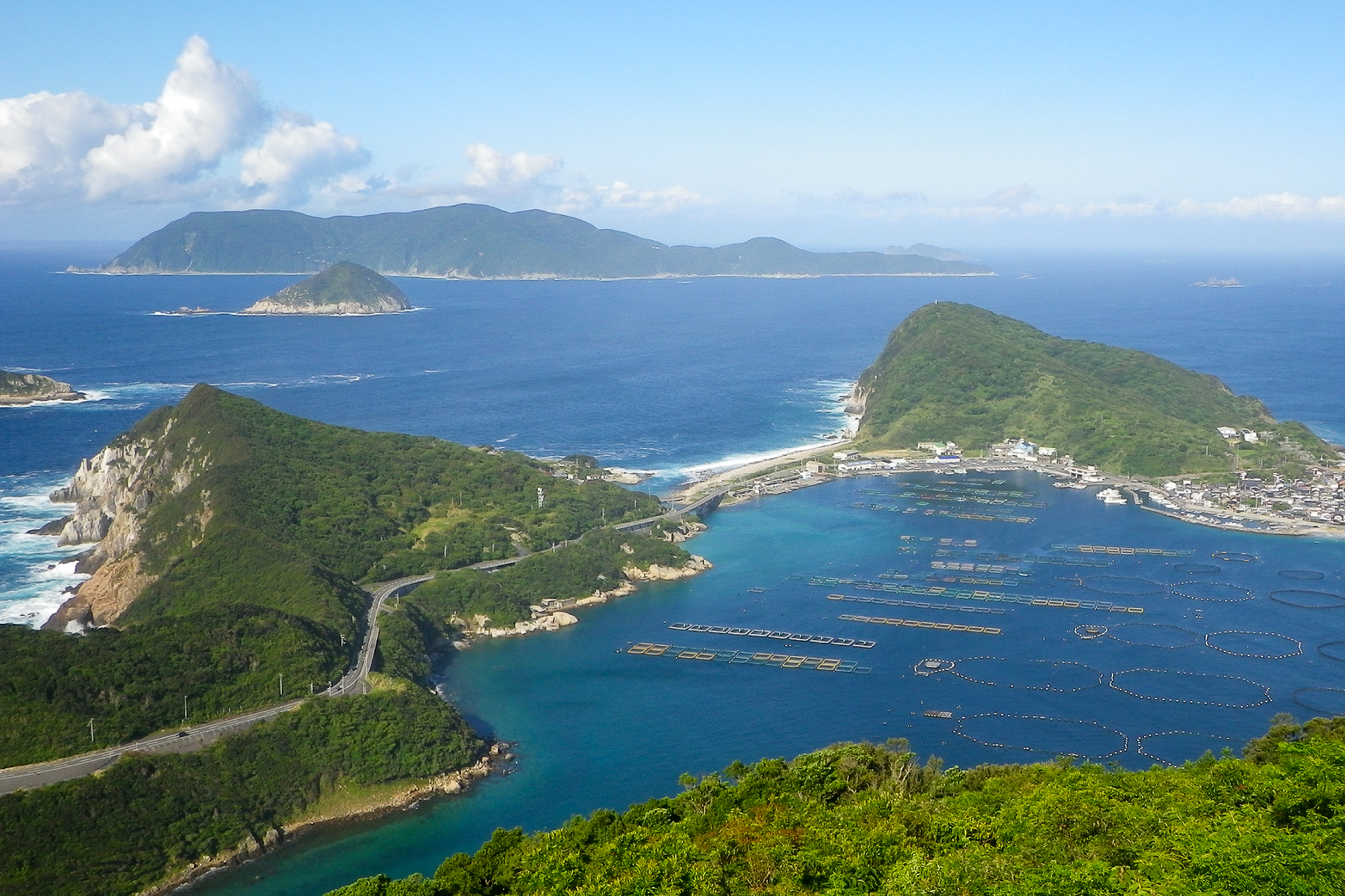
Imoseyama 妹背山 is a 404m peak on Okinoshima 沖の島 off the coast of Sukumo City in Kochi prefecture. It stands out as the only peak in Kochi on the Shikoku 100 Famous Mountains 四国百名山 list located on an off-shore island.
Despite its modest elevation, the peak delivers expansive views from an observation plaza near the summit stretching across the surrounding coastal waters and neighboring islands. Accessing the mountain requires taking a ferry from Katashima Port 片島港 on the mainland out to Okinoshima. Hikes generally start from either Moshima Port 母島港 or Hirose Port 弘瀬港) You can choose to hike directly up to the summit and back, or extend the day into a loop along the coast.
⚠️ This is a planned hike. I haven’t walked this trail but am sharing my research in English to encourage people to get out there and explore Shikoku (and also so I can do the hike, too!). Please do your own planning and research. If you do end up hiking this mountain, I’d love to hear from you.
Access & Course Information
Option 1: Out and back from Moshima Port
Starting from Moshima Port (母島港), the trail ascends through jungle-like terrain, passing shrines and quiet farmlets before reaching the top. This direct out-and-back route covers roughly 5km with around 450m of elevation gain, taking roughly 2 to 2.5 hours to complete. Wild boars are present on this island so a bell is recommended. It is also suggested to take plenty of water and sun protection due to the heat in summer.
Trailhead: Moshima Port
Estimated hike time: 2.5 hours (5km with 457m of elevation gain)
Estimated fitness: Grade 2 – Moderate | Technical: Grade A – Easy
*See how I rate my walks
Useful links: Yamap trail information with pictures (In Japanese)
Option 2: Via Nakagawa Pass (Ehime side)
If you prefer not to go back the way you came; this route traverses the island in a loop that takes in some beautiful coastal vantage points on the way back (or there, depending on which way you walk). This option runs at up to 13km with 700m of elevation gain.
Trailhead: As above
Estimated hike time: 4 hours (12.3km with 711m of elevation gain)
Estimated fitness: Grade 3 – Hard | Technical: Grade A – Easy
Useful links: Yamap loop trail with picures (In Japanese)
*See how I rate my walks